PAGASA Release Weekend Weather Update
The state weather bureau PAGASA has released the latest weather update for the weekend as a low-pressure area is expected to enter PAR.
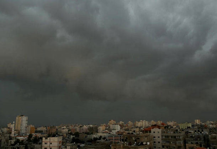
On Saturday (February 10, 2018), the Philippine Atmospheric, Geophysical and Astronomical Services Administration (PAGASA) reported that the northeast monsoon would bring cloudy skies and isolated rains over Cagayan Valley and Cordillera Administrative Regions.
The northeast monsoon would also bring cloudy conditions with isolated rains in Ilocos Region. While the rest of the country would be cloudy with isolated rain showers.

PAGASA also reported that a low-pressure area is expected to enter the Philippine Area of Responsibility (PAR). It was last spotted at 1, 780 kilometers East of Mindanao.
The weather disturbance would be named Bagyong Basyang once it enters PAR and could possibly turn to a tropical storm, which could possibly make a landfall over Northern Mindanao and Southern Visayas.
Meanwhile, the weather agency also warned the public that sea ventures over the coastal waters of Luzon, the rest of northern Luzon, Metro Manila, Calabarzon, Bicol Region, the Eastern Visayas, Caraga, and the Davao Region remains risky due to rough seas.
The rest of the country would have light to moderate coastal waters.
What can you say about this? Just feel free to leave your comments and reactions to this article.
You can also read President Duterte Wants To Close ‘Cesspool’ Boracay