PAGASA Says LPA Inside PAR Intensifies Into Tropical Depression
FABIAN PH – A low-pressure area inside the Philippine Area of Responsibility has developed into a tropical depression, according to PAGASA.
On Friday (August 8, 2025), the Philippine Atmospheric, Geophysical and Astronomical Services Administration monitored a new weather disturbance has formed inside the Philippine Area of Responsibility (PAR).
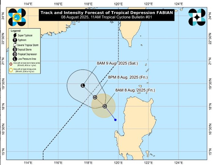
The low-pressure area has now strengthened into a tropical depression and was given the name Fabian. It was the first tropical cyclone to form this August and the sixth to enter the country’s monitoring area in 2025.
The tropical depression was located about 145 kilometers west of Sinait, Ilocos Sur. The system is packing maximum sustained winds of 45 kilometers per hour and gusts reaching up to 55 kilometers per hour, moving slowly northwest at around 10 kilometers per hour over the northern part of Luzon.
PAGASA is also watching another weather system outside PAR, Tropical Storm Podul. The storm was last tracked 2,550 kilometers east of extreme northern Luzon, carrying stronger winds of 75 kilometers per hour and gusts up to 90 kilometers per hour. It is moving faster than Fabian at 15 kilometers per hour.
Podul may enter the Philippine boundary as a typhoon by August 10 or 11. If it comes in before any other storm forms, it will be named Gorio locally. Meanwhile, the southwest monsoon, or habagat, is still affecting large portions of the country.
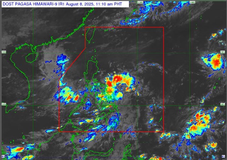
Until Saturday morning (August 9, 2025), scattered rain showers and cloudy skies are expected in many areas, including the Visayas, Bicol Region, Mimaropa, Zamboanga Peninsula, Northern Mindanao, Caraga, Davao Region, Quezon, Palawan, Metro Manila, Calabarzon, and the rest of Mindanao.
With two weather systems being monitored and the monsoon still active, residents are advised to remain alert and prepared, especially in areas prone to flooding and landslides, according to PAGASA.
RELATED POST: PAGASA Releases Latest Weather Update for Friday (August 8, 2025)