New LPA Enters PAR & Expected To Turn Into Tropical Cyclone, PAGASA Says
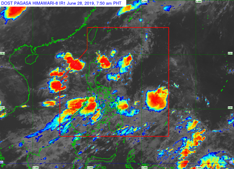
The state weather bureau PAGASA said that a new low-pressure area has entered the Philippine Area of Responsibility and was expected to intensify over the next few days.
On Friday (June 28, 2019), the Philippine Atmospheric, Geophysical and Astronomical Services Administration (PAGASA) released the latest weather condition in the country.
PAGASA reported that the weather disturbance was located at 960 kilometers east of Guiuan, Eastern Samar.
Weather specialist Ezra Bulquerin said that the LPA was expected to develop into a tropical storm in the next few days.
The LPA will be locally named ‘Egay’ if it intensifies into a storm, which is the fifth tropical cyclone to enter the country this year.
The trough or extension of the LPA would bring cloudy weather conditions with scattered rainshowers over the regions of Caraga, Davao, and Soccsksargen.
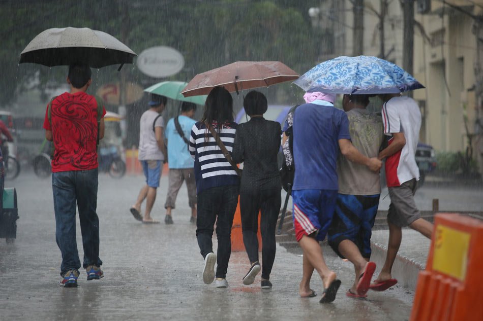
Meanwhile the Southwest Monsoon or locally known as ‘Habagat’ would bring monsoon rains over Luzon and Visayas.
The weather agency was also hoping that the rains would last over the next few days to ease the declining water level in Angat Dam.
What can you say about this? Just feel free to leave your comments and reactions to this article.