Typhoon Paeng Intensifies Into Super Typhoon, JTWC Says
The US-based Joint Typhoon Warning Center (JTWC) reported that Typhoon Paeng within PAR has now developed into a super typhoon.
On Tuesday (September 25, 2018), the Joint Typhoon Warning Center in Hawaii has classified Typhoon Paeng with an international name “Trami” as a super typhoon.
Paeng has maximum sustained winds of 259 kilometers per hour (kph) and gustiness of up to 314 kph with average wind strength per 1 minute.

However, the Philippine Atmospheric, Geophysical and Astronomical Services Administration (PAGASA) classify Paeng under typhoon category.
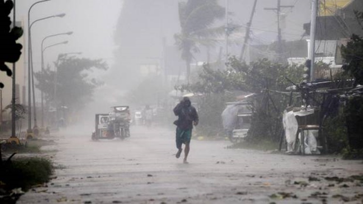
PAGASA reported that the typhoon has maximum sustained winds of 200 kph and gustiness of up to 245 kph moving west-northwest at 10 kph.
The weather disturbance was last located at 740 kilometers east of Basco, Batanes and expected to bring light to moderate rains over Northern Luzon on Friday (September 28, 2018).
PAGASA’s Ariel Rojas said that Paeng is unlikely to make a landfall in the country but might enhance the southwest monsoon or locally known as “Habagat”.
The typhoon might hit Taiwan or southwestern Japan’s Ryuku Islands after leaving the Philippine Area of Responsibility (PAR).
What can you say about this? Just feel free to leave your comments and reactions to this article.