Another Low-Pressure Area May Develop Into Tropical Storm ‘Josie’
A new low-pressure area has entered the Philippine Area of Responsibility (PAR) may develop into Tropical Storm ‘Josie’ in the next 24-48 hours.
On Saturday (July 21, 2018), the Philippine Atmospheric, Geophysical and Astronomical Services Administration (PAGASA) released the latest weather update in the country.
PAGASA reported that another low-pressure area has entered West of Laoag City, Ilocos Norte after Bagyong Inday leave PAR.

Tropical Storm Inday, which has maximum sustained winds of 90 kilometers per hour and gustiness of up to 115 kph moving 25 kph at Northwest direction has been last spotted at 915 km Northeast of Basco, Batanes.
The new LPA was spotted 285 km West of Laoag City, Ilocos Norte ad expected to intensify into a tropical storm.
The weather disturbance will be named ‘Josie’ after it turns into a tropical storm within the next 24-48 hours.
Josie will be the fourth tropical cyclone to enter the country within this month of July.
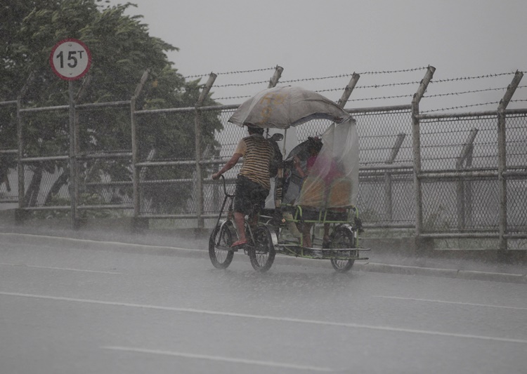
Meanwhile, Bagyong Inday still enhances the southwest monsoon bring intermittent moderate to heavy monsoon rains over Ilocos Region, Cordillera Administrative Region, Zambales, Bataan.
Metro Manila, CALABARZON and the rest of Central Luzon would experience scattered light to moderate with occasional heavy rains until Sunday (July 22, 2018).
What can you say about this? Just feel free to leave your comments and reactions to this article.