PAGASA Issues Latest Updates About Severe Tropical Storm Quedan
The state weather bureau PAGASA releases the latest updates regarding the severe tropical storm Quedan on Friday (October 27, 2017).
The Philippine Atmospheric Geophysical and Astronomical Services Association (PAGASA) said on its 5 am weather bulletin that the tropical storm was expected to exit the Philippine Area of Responsibility (PAR) by Saturday morning (October 28, 2017).
The weather agency explained that Quedan was expected to move outside the Philippine territory and head towards the southern islands of Japan.
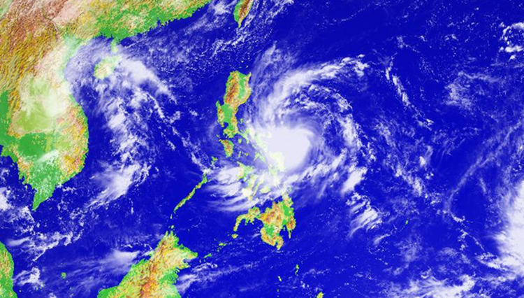
Tropical Storm Quedan was packing maximum sustained winds of 90 kilometers per hour (kph) near the center and gustiness of up to 115 kph.
Quedan was last spotted about 915 kilometers east of Basco, Batanes at 3 am on Friday. It was expected to leave PAR if it continues to move 21 kph north-northwest.
PAGASA explained that the storm has no direct effect on the country’s weather condition.

Unfortunately, the weather disturbance strengthens the northeastly surface wind flow, which causes rough waves over the seaboards of some parts of Luzon.
What can you say about this weather update? Just feel free to leave your comments and reactions for this article.
You can also read Real Status Of Isabel Granada’s Health Condition Revealed