PAGASA – 11 AM Updates This February 10, 2021
PAGASA – Here is the 11 AM weather advisory from the state weather bureau PAGASA on this day, February 10, 2021 (Wednesday).
The update from the bureau says that as of 2 AM on this day, the Low Pressure Area east of Visayas has dissipated.
Meanwhile, another low pressure area was last spotted at about 910 kilometers East of Mindanao. However, it is less likely to develop into a tropical depression in the next 24 – 36 hours.
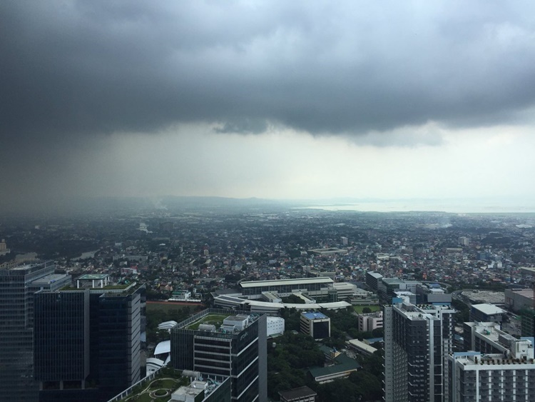
The Tail-End of a Frontal System, on the other hand, is currently affecting the eastern sections of Southern Luzon and Visayas.
Eastern Visayas, Bicol Region, Romblon, Marinduque, Aurora and Quezon will face light to moderate with at times heavy rains.
Flooding (including flash floods) and rain-induced landslides may occur during heavy or prolonged periods of rainfall, especially in areas identified to be highly or very highly susceptible to these hazards.
Adjacent or nearby areas may also face experience flooding in the absence of such rainfall occurrence due to surface runoff or swelling of river channels.
Based on the website, the public and disaster risk reduction and management offices were urged to take appropriate measures and watch for the next update regarding the current LPA.
The bureau’s Regional Services Divisions will also issue local thunderstorm/rainfall advisories and heavy rainfall warnings in their respective areas of responsibility
The Hydrometeorology Division and River Basin Flood Forecasting and Warning Centers, on the other hand will issue General Flood Advisories and River Basin Flood Advisories/Bulletins.
What do you think of this report? How will you react to this? Let us know more about it in the comments below.
Check out our latest news at philnews.ph or in our following social media pages
Facebook: /PhilNews
Twitter: @PhilNews247
Instagram: @philnewsph