PAGASA Releases Latest Weather Update for Monday (December 13)
The state weather bureau PAGASA reported that the tropical depression outside PAR may enter the country’s vicinity on Tuesday (December 14, 2021).
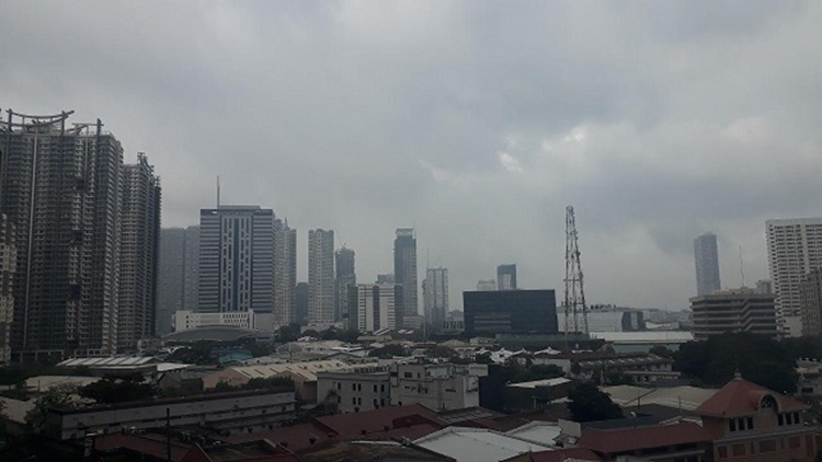
On Monday (December 13, 2021), the Philippine Atmospheric, Geophysical, and Astronomical Services Administration released the latest weather update in the country. The tail-end of a frontal system will affect the country’s weather condition.
PAGASA reported that the shear line will be affecting Dinagat and Surigao Provinces while the localized thunderstorms will affect rest of Mindanao. The shear line will bring cloudy weather condition with scattered rainshowers and thunderstorms over Dinagat and Surigao Provinces.
The northeast monsoon will bring similar weather condition over provinces of Batanes, Cagayan, Isabela, Quirino, Apayao, Nueva Vizcaya, Apayao, Ifugao, Kalinga, Mountain Province and Aurora as well as Eastern Visayas.
Amihan will also bring partly cloudy to cloudy skies with isolated light rains over Abra, Benguet, Ilocos Norte, Ilocos Sur, La Union and Pangasinan.
The localized thunderstorms will bring partly cloudy to cloudy skies with isolated rainshowers or thunderstorms over Central and Western Visayas, Palawan including Kalayaan Islands, and Occidental Mindoro as well as the rest of Mindanao.
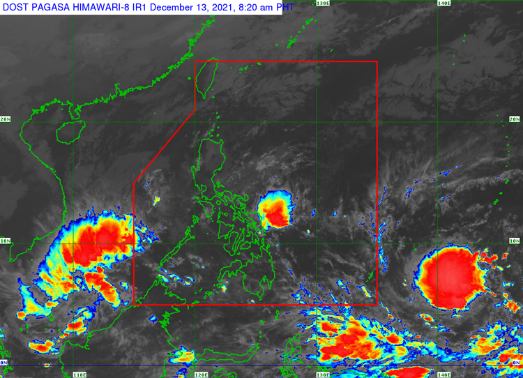
The weather agency is also expecting a tropical depression spotted outside the Philippine Area of Responsibility to enter the country’s vicinity on Tuesday (December 14).
The tropical depression has been last located at 1,900 km east of Mindanao. It has maximum sustained winds of 55 kilometers per hour and gustiness of up to 70 kph. It is moving 20 kph at a west northwestward direction.
The weather disturbance is expected to intensify and may develop into a typhoon before entering the country’s vicinity. It may affect the weather condition over Visayas and Mindanao.
“Ito po’y inaasahang kikilos generally westward and then posibleng pumasok ito ng Philippine area of responsibility by Tuesday as tropical storm na, Posibleng umabot sa typhoon category. Mahigit 100 km/h na hangin ang dala niyan,” PAGASA said.
What can you say about the latest weather update? Just feel free to leave your comments and reactions to this article.
Thank you for visiting Philippine Trending News (Philnews.ph). You may also follow us on the following social media platforms; Facebook, Twitter, and YouTube
Read Also: PAGASA Releases Latest Weather Update for Saturday (December 11)