Strong Typhoon Threatens To Enter PH This Week, PAGASA Says
PAGASA reported that the agency was monitoring a strong typhoon threatening to enter the country while another low-pressure area would bring rains.
On Monday (September 10, 2018), the Philippine Atmospheric, Geophysical and Astronomical Services Administration (PAGASA) released the latest weather updates in the country.
The state weather bureau reported that a strong typhoon might enter the Philippine Area of Responsibility (PAR) this week.

Tropical Storm “Mangkhut” was last spotted at 2,745 kilometers east of Southern Luzon packing maximum sustained winds of 130 kilometers per hour (kph) and gustiness of up to 160 kph.
PAGASA weather forecaster Meno Mendoza said that Mangkhut’s sustained winds could reach 205 kph before it enters PAR.
Meanwhile, another low-pressure area located at 200 kilometers north of Basco, Batanes would bring scattered rain and thunderstorms over Ilocos provinces, Apayao, Abra, Batanes and the Babuyan Group of Islands.
Mendoza said that the LPA may also intensify into a tropical cyclone in the next 36 hours.
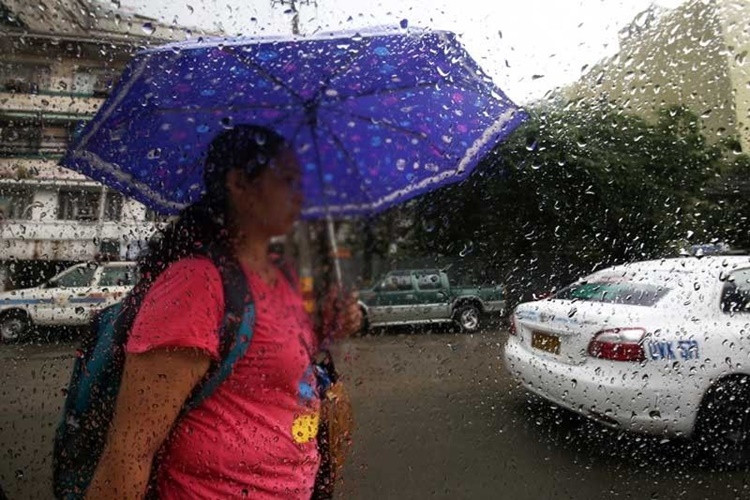
The weather agency also explained that localized thunderstorms are expected over Metro Manila and the rest of the country.
What can say about this? Just feel free to leave your comments and reactions to this article.