Pagasa Gives Latest Updates About Intensified Tropical Storm Quedan
The Philippine Atmospheric, Geophysical, and Astronomical Services Administration (PAGASA) released the latest updates about the intensified Tropical Storm Quedan.
On Wednesday afternoon (October 25, 2017), the state weather bureau said that the tropical depression “Saola” has already entered the Philippine Area of Responsibility (PAR). It was initially spotted in Virac Catanduanes.
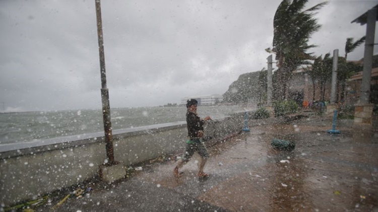
On Thursday morning (October 26, 2017), Pagasa announced that the weather disturbance has intensified into a severe tropical storm affecting some parts of the country.
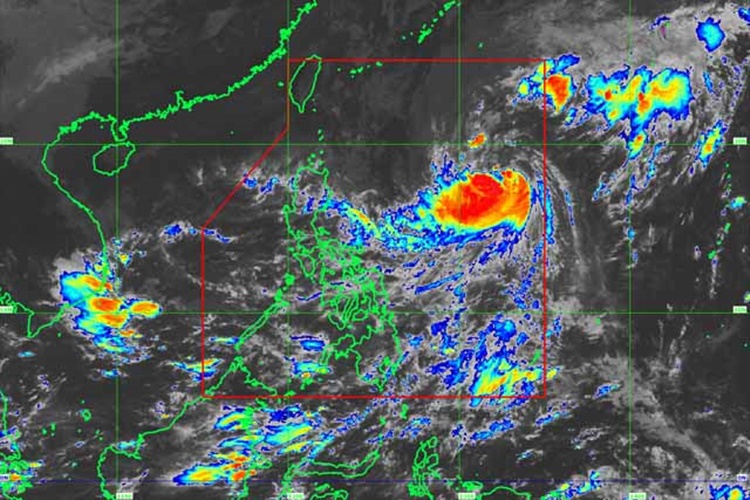
The tropical storm was packed with maximum sustained winds of about 90 kilometers per hour (kph) near the center and could gusts up to 115 kph.
The weather agency also expects that Tropical Storm Quedan will intensify into a typhoon within 36 to 48 hours and could hit any part of the Philippines.
Pagasa said that the storm could bring light to moderate rains over Palawan and Mindanao until Friday (October 27, 2017).

“The eastern section of Luzon, Palawan, and Mindanao will have cloudy skies with scattered rain showers and thunderstorms while Metro Manila and the rest of the country will have isolated rains showers or thunderstorms,” said by Pagasa quoted by Philstar.
As of now, the weather bureau did not raise any tropical warning signal in the country despite the strengthened storm, which is currently 21 kph northwest. It is also expected to move towards the southern island of Japan.
Quedan was also expected to leave the country by Saturday (October 28, 2017).
What can you say about this? Just feel free to leave your comments and reactions for this article.
You can also read Super Tekla Finally Signs Exclusive Contract To GMA Network