Tropical Cyclone Paolo Is Now A Super Typhoon
The U.S. Joint Typhoon Warning Center (JTWC) declared that Bagyong Paolo (international name Lan) now turns into a super typhoon.
On Saturday morning (October 21, 2017), the U.S. Navy-Air Force command based in Hawaii announced that the tropical cyclone Paolo is now a super typhoon with sustained packing winds of 240 kilometers per hour (kph) and gustiness of up to 296 kph.
JTWC also expects that super typhoon Paolo could reach its peak strength of maximum sustained winds of about 259 kph and gustiness of up to 314 kph for the next 12 hours before hitting the mainland of Japan.

The state typhoon warning center’s track signifies that the super typhoon could possibly make a landfall near on Tokyo, the capital of Japan.
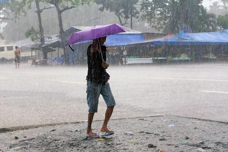
The tropical cyclone triggered heavy rains, which cause flash floods and landslide in some parts of Visayas and Mindanao although it did not make a landfall over the Philippines.
Paolo has been also classified as a very strong typhoon that could bring violent rain in Japan, according to The Japan Meteorological Agency (JMA).
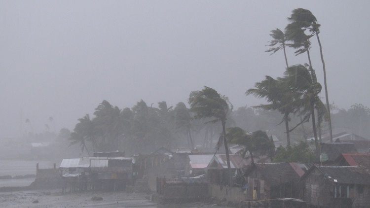
“It will likely rain very heavily in the Nansei island chain (in southern Japan), in the Pacific side of western and eastern Japan from the 21st to 23rd. There is a chance it will rain violently in some regions,” said by JMA quoted by ABS-CBN.
However, PAGASA announced that Visayas, Cagayan Valley, Ilocos Region, Bicol Region, MIMAROPA, and Zamboanga Peninsula could experience from light to heavy rain that might cause flooding and landslides.
What can you say about this? Just feel free to leave your comments and reactions for this article.
You can also read Video Footage Of Baron Geisler Before Getting Arrested