PAGASA Releases Update About Tropical Depression Crising
The state weather bureau PAGASA reported that the LPA in Mindanao developed into Tropical Depression Crising.
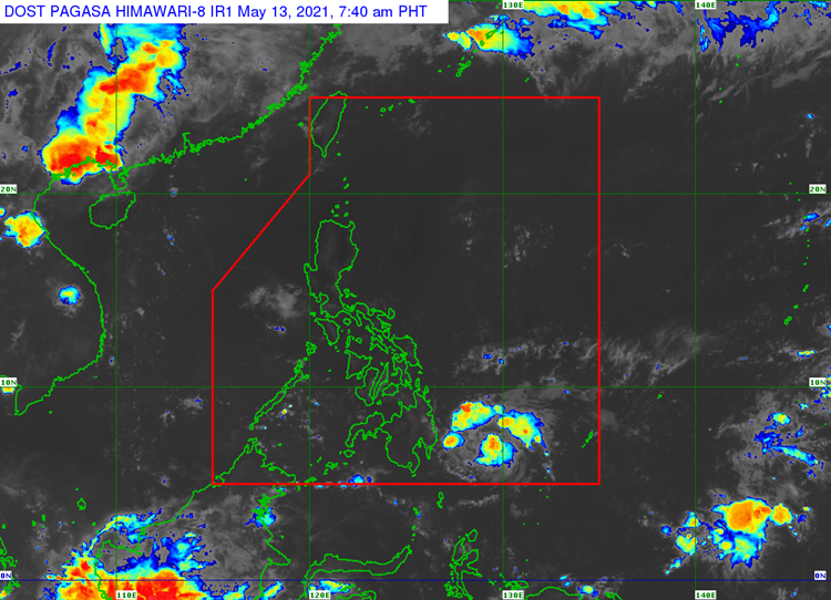
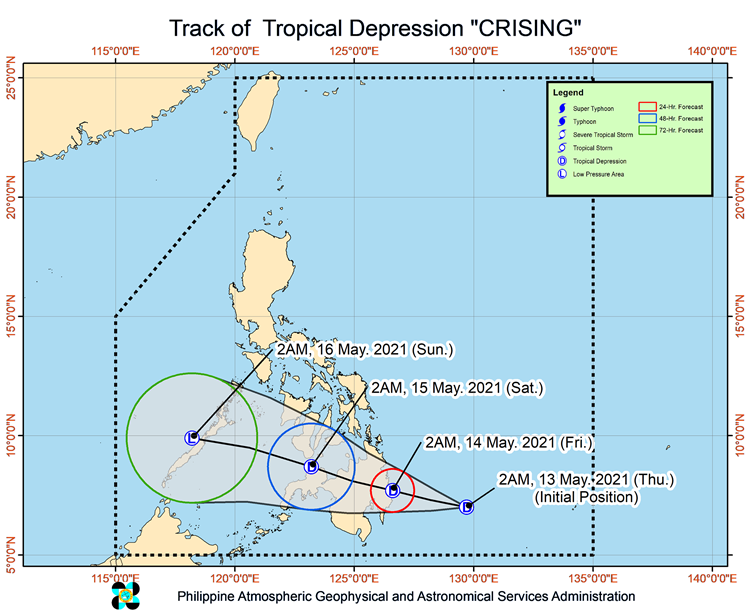
On Thursday (May 13, 2021), the Philippine Atmospheric Geophysical and Astronomical Services Administration released the latest weather update in the country. The low pressure area spotted east of Davao City has intensified into a Tropical Depression.
Crising has maximum sustained winds of 45 kilometers per hour and gustiness of up to 55 kph. It has been last located at 420 kilometers east of Davao City and expected to make a landfall over Surigao del Sur or Davao Oriental between today or Friday.
PAGASA also raised Tropical cyclone wind signal no. 1 in four areas, which may cause slight damage to houses made up of light materials and makeshift structures.
- Surigao del Sur
- Davao Oriental
- Davao de Oro
- Eastern portion of Agusan del Sur
The tropical depression is expected to weaken into a low pressure area on Saturday (May 15) before leaving the Philippine area of responsibility on Sunday (May 16).
TD Crising would bring partly cloudy to cloudy skies with isolated rainshowers or thunderstorms over Bicol Region, Northern Samar, Oriental Mindoro, Marinduque and Romblon.
The easterlies would also bring the same weather condition over entire Visayas, Palawan including Kalayaan Islands, and Occidental Mindoro. The weather agency also warned the residents in affected areas for possible flash floods and landslides.
What can you say about the latest weather update? Just feel free to leave your comments and reactions to this article.
Read Also: PAGASA: LPA Found East of Davao City & ITCZ to Affect Mindanao