PHIVOLCS – Volcanic Quakes, Sulfur Dioxide Emissions Remain In Taal
PHIVOLCS – PHIVOLCS said that Taal Volcano still remains under Alert Level 4 as volcanic quakes and sulfur dioxide emissions remain a week after its initial eruption.
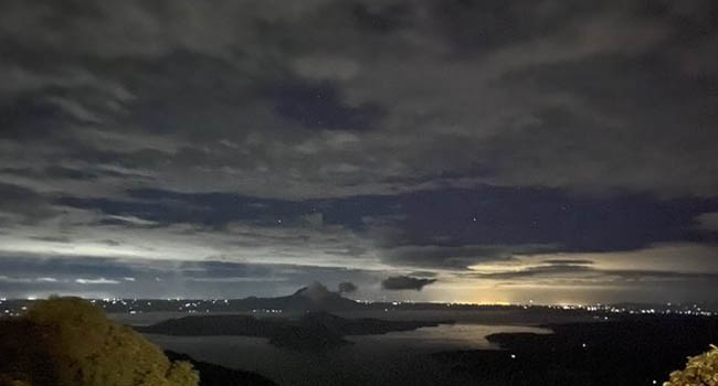
In an update from the Philippine Institute of Volcanology and Seismology, the institute’s Philippine Seismic Network recorded at about 23 volcanic earthquakes, with magnitude ranging from 1.2 to 3.8 as of Sunday 5 AM to Monday 6 AM.
This adds up to a total of 714 volcanic earthquakes recorded since its initial eruption on Sunday January 12.
A report from GMA News states that the Taal Volcano Network, on the other hand, recorded at about 673 volcanic earthquakes in the past 24 hours, where 12 of these are low-frequency ones.
Low-frequency earthquakes, as defined by the United States Geological Survey, are caused by cracks resonating as magma and gases move toward the surface.
“They are often seen prior to volcanic eruptions, but their occurrence is also part of the normal background seismicity at some volcanoes and their occurrence does not necessarily indicate that an eruption is imminent,”
Renato Solidum, the institute’s director, said that the occurence of these tremors serves as their main parameter in determining the appropriate Alert Levels for active volcanoes.
He earlier said that the activity of Taal can only be rendered slowing down when “earthquakes have diminished and the trend is continuing.”
As for the update on sulfur dioxide emission, it remains at 4,353 tons per day, which is the same as what’s indicated on the institute’s Sunday 6 PM bulletin.
Sulfur dioxide emission indicates the upward movement of magma to the surface.
As per the report, the activity in the main crater was described by “steady steam emission and infrequent weak explosions,” adding that it generated white to dirty white ash plumes, 500 to 1,000 meters tall to areas southwest of the main crater.
Volcanic ashes will drift to the south and southwest of the main crater if the plume remains to be lower than five kilometers or otherwise, it will affect the areas in the east and northeast of the volcano and may fall on some portions of Batangas, Laguna and Quezon in case of a major eruption.
The institute repeated that total evacuation of the volcano island (specifically within 14-km radius), especially in areas along the Pansipit River Valley high-risk areas, is a must due to possible hazards such as base surge and volcanic tsunami.
Airspace around Taal Volcano remains unsafe due to risks posed by airborne ash and ballistic fragments from the eruption column.
What do you think? How will you react to this? Let us know more about it.
Check out our latest news on philnews.ph