Tropical Depression Inday Latest Update
The state weather bureau PAGASA has released the latest update on Tropical Depression Inday affecting the country’s weather condition.
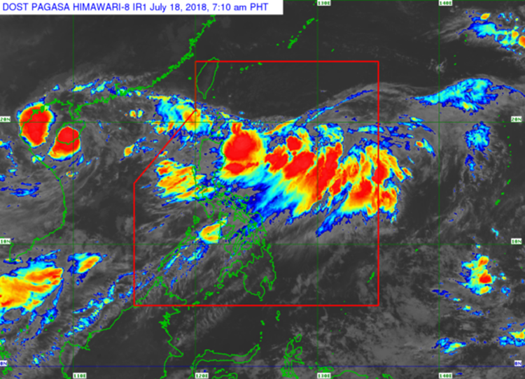
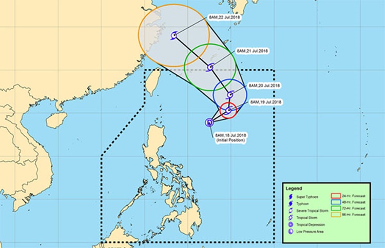
On Wednesday (July 18, 2018), a low-pressure area has been spotted 660 km East Southeast of Basco, Batanes that already intensified into a tropical storm within 24 hours.
The third tropical storm to enter the Philippine Area of Responsibility (PAR) this month of July was named “Inday”.
Bagyong Inday has maximum sustained winds of 55 kilometers per hour (kph) and gustiness of up to 65 kph moving 15 kph East.
The Philippine Atmospheric, Geophysical and Astronomical Services Administration (PAGASA) did not raise Tropical Cyclone Warning Signals as Bagyong Inday was not expected to make a landfall.
However, the weather disturbance enhances the southwest monsoon bringing heavy rains over Ilocos Region, Cordillera Administrative Region, Zambales, Bataan, Pampanga, and Bulacan.
Metro Manila, Cagayan Valley, Cavite, Batangas, Laguna, and other parts of Central Luzon would also experience moderate to heavy rains until Friday (July 20, 2018).
What can you say about this? Just feel free to leave your comments and reactions to this article.