PAGASA – ITCZ Affects VIsayas, Zamboanga, Caraga (October 17)
PAGASA – Weather bureau PAGASA recently announced that Visayas, Zamboanga Peninsula and Caraga will be affected by the ITCZ.
The bureau further added in its morning forecast that the northeasterly surface windflow will still prevail over Luzon.
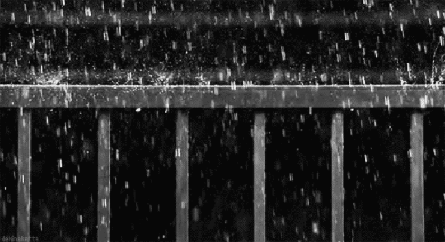
According to GMA News, Visayas, as well as the regions of Zamboanga Peninsula and Caraga will face cloudy skies with scattered rains due to the Intertropical Convergence Zone (ITCZ).
As for Metro Manila and the rest of the country, they will face partly cloudy to cloudy skies with scattered rains due to localized thunderstorms. The bureau further warned the public of flash floods and landslides that might occur during thunderstorms.
Based on the report, they are currently monitoring a weather disturbance near the Philippine Area of Responsibility (PAR).
Tropical depression Perla was last seen at about 910 kilometers east of the city of Tugegarao, Cagayan. It is currently packed with max winds of about 45 kilometers per hour and gusts of up to 55 kilometers per hour. The tropical depression is currently moving west at 10 kilometers per hour.
As for the wind speed forecast, Mindanao will have light to moderate winds moving north east and its coastal waters willbe slight to moderate.
What do you think? How will you react to this? Let us know more about it.
Check out our latest news at philnews.ph