2 Low-Pressure Areas Monitored by PAGASA
The state weather bureau PAGASA is now monitoring two low-pressure areas affecting the weather condition over some parts of the Philippines.
On Wednesday (May 8, 2019), the Philippine Atmospheric, Geophysical and Astronomical Services Administration (PAGASA) released the newest and the latest weather updates.
PAGASA said that they are now keeping an eye on two low-pressure areas affecting the country’s weather.
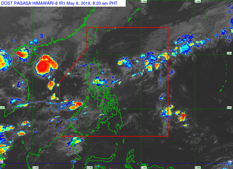
The first low-pressure area was last located at 195 kilometers southwest of Sinait, Ilocos Sur around early morning today.
Another LPA was last spotted at 335 kilometers east of Aparri, Cagayan.
The trough of the LPAs would bring cloudy weather conditions with scattered rainshowers and thunderstorms over Metro Manila and the rest of Luzon.
The localized thunderstorms would bring partly cloudy to cloudy skies with isolated rainshowers over Visayas and Mindanao regions.
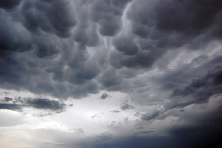
The weather agency also advised the public to take precautionary measures for possible flashfloods and landslides during severe thunderstorms.
Meanwhile, the coastal water conditions over the extreme northern Luzon would be slight to moderate.
Slight to moderate surrounding sea conditions are also expected over the remaining parts of the country, according to the weather bureau.
What can you say about this? Just feel free to leave your comments and reactions to this article.