Low-Pressure Area Affects Weather Condition in Mindanao, PAGASA Says
The state weather bureau PAGASA is now monitoring a low-pressure area near Eastern Mindanao and released the latest weather updates in the country.
On Friday (March 15, 2019), the Philippine Atmospheric, Geophysical and Astronomical Services Administration (PAGASA) reported the current weather condition.
PAGASA said that the trough of the low-pressure area outside the Philippine Area of Responsibility (PAR) would affect the weather condition over Mindanao.

The LPA’s trough would bring cloudy weather conditions with scattered rainshowers and thunderstorm over Davao and SOCCSKSARGEN.
The northeast monsoon would also bring cloudy conditions with ligt rains over the Batanes and Babuyan Group of Islands.
The Cold Front’s Tail-end would bring cloudy weather with rainshowers and isolated thunderstorms over the Cordillera Administrative Region, the rest of Cagayan Valley Region, and Aurora province.
The localized thunderstorms would also bring partly cloudy to cloudy skies with isolated rainshowers over the rest of central Luzon and the rest of Mindanao.
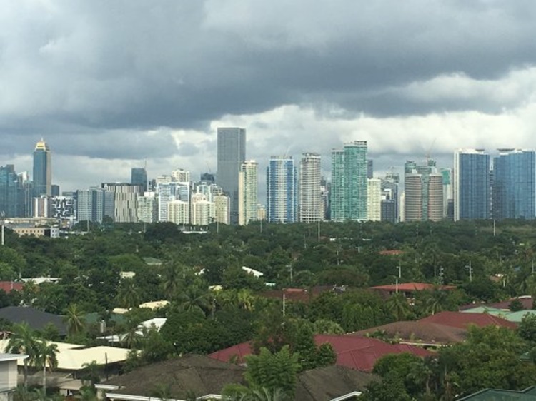
Partly cloudy conditions are also expected over the Metro Manila and the rest of the country.
Meanwhile, the coastal water conditions over the Northern Luzon and eastern sections of central and southern Luzon would be moderate to rough.
The surrounding sea conditions over the eastern sections of the Visayas region and Mindanao would be moderate.
Slight to moderate waters are expected over the remaining parts of the country.
The weather agency also advised the public to take precautionary measures for possible flashfloods and landslides.
What can you say about this? Just feel free to leave your comments and reactions to this article.