Latest Weather Updates in PH Released by PAGASA
The state weather bureau PAGASA reported that another low-pressure area spotted near PAR was expected to after PH weather system.
On Tuesday (December 18, 2018), the Philippine Atmospheric, Geophysical and Astronomical Services Administration (PAGASA) reported that another low-pressure area was spotted near the country’s vicinity.
PAGASA reported that the low-pressure area was spotted outside the Philippine Area of Responsibility (PAR) and expected to affect the country’s weather condition.
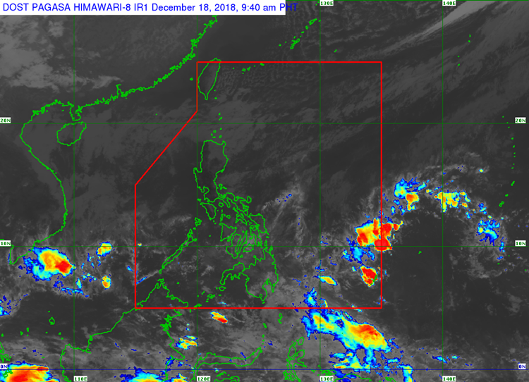
The low-pressure area would bring cloudy weather conditions with scattered rain and thunderstorm over Basilan, Sulu, Tawi-Tawi, Sultan Kudarat, Sarangani, and the Zamboanga Peninsula Region.
The northeast monsoon would also bring cloudy weather conditions with light rain over the Cagayan Valley and Cordillera Administrative Regions.
The rest of Luzon would have partly cloudy to cloudy conditions with isolated light rain.
The remaining parts of the country would have partly cloudy to cloudy skies with isolated rainshowers.
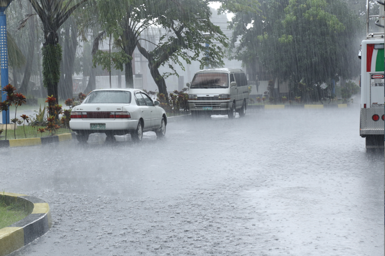
Meanwhile, the coastal water conditions over the northern Luzon and the eastern sections of Central and southern Luzon, the Visayas, and Mindanao would be rough.
Moderate to rough surrounding sea conditions are expected over the rest of Luzon and the Visayas.
Slight to moderate water are expected over the remaining parts of Mindanao, according to the weather agency.
What can you say about this? Just feel free to leave your comments and reactions to thisarticle.