Latest Updates About Typhoon Queenie Released By PAGASA
The state weather bureau PAGASA has released the latest updates regarding Typhoon Queenie that may affect the country’s weather condition.
On Tuesday (October 2, 2018), the Philippine Atmospheric, Geophysical and Astronomical Services Administration (PAGASA) released the latest weather updates in the country.
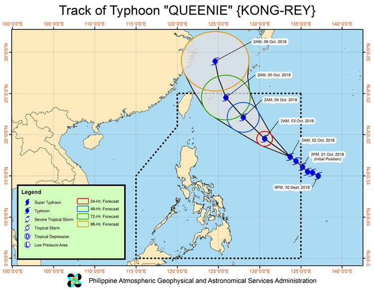
PAGASA reported that Typhoon Kong-Rey with a local name “Queenie” has intensified and trough would bring rains over some parts of the Philippines.
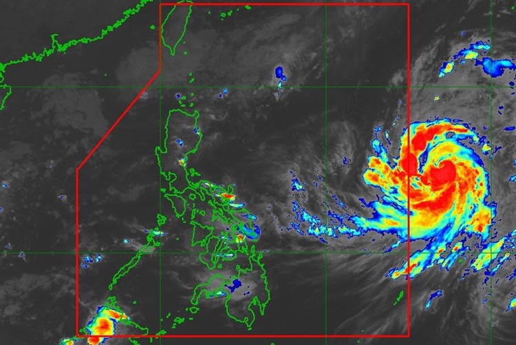
The weather disturbance was last spotted at 1,250 kilometers east of Tuguegarao, Cagayan moving 15 kilometers per hour (kph) at a northwest direction.
Queenie, which has maximum sustained winds of 190 kph and gustiness of 235 kph was the 17th tropical cyclone to enter the country this year.
The typhoon’s trough would bring cloudy skies with scattered rainshowers and thunderstorms over Cagayan Valley Region, Bicol Region, Eastern Visayas, and the provinces of Aurora and Quezon.
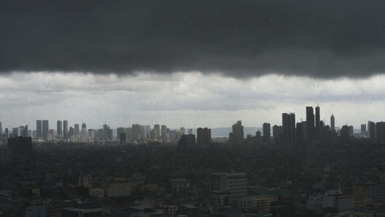
Meanwhile, Metro Manila and the rest of the country would have cloudy weather conditions with isolated rainshowers due to localized thunderstorms.
However, Queenie is not expected to make a landfall in any part of the country and expected to leave the Philippine Area of Responsibility (PAR) on Friday (October 5).
What can you say about this? Just feel free to leave your comments and reactions to this article.