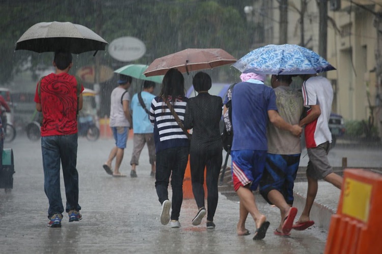
New Storm Expected To Enter PAR On Thursday, Pagasa Says
The state weather bureau PAGASA spotted a new possible storm that might enter the Philippine area of Responsibility (PAR) on Thursday (October 26, 2017).
On Tuesday (October 24, 2017), the Philippine Atmospheric, Geophysical and Astronomical Services Administration (Pagasa) were monitoring an intertropical convergence zone (ITCZ) that was affecting Southern Luzon and the Visayas.
The tropical depression near the Philippines was estimated at 2, 145 kilometers east of Mindanao around 3 am on Tuesday.

The weather agency announced on their bulletin that the tropical depression has maximum sustained winds of 45 kilometers per hour (kph) and gustiness of up to 60 kph moving northwest at 15 kph.
The new possible storm was not yet affecting the country, but it was expected to enter PAR on Thursday or Friday. The ITCZ would be named ‘Quedan’, according to Weather specialist Gener Quitlong.
Palawan, Western Visayas, and Palawan would experience cloudy skies with scattered rains and thunderstorms due to the depression.

Meanwhile, NCR and the other parts of the country would experience cloudy skies with light rains and thunderstorms in the afternoon or evening.
What can you say about this? Just feel free to leave your comments and reactions for this article.
You can also read Mocha Uson Reveals Source Of Photo Considered By Rappler Fake
