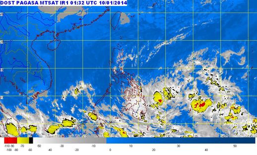
The Philippine weather bureau, PAGASA, reported that a low pressure area (LPA) is spotted east of Mindanao and is expected to enter the Philippine Area of Responsibility today, January 10, 2014. If the LPA will develop into a typhoon it will be named as “Agaton.”
See Also: Flash Floods and Landslides Affected 4,000 in Mindandao
See Also: LPA Agaton Unlikely to Become a Storm
According to PAGASA forecaster Buddy Javier in an ABS-CBN interview, he said that the LPA is spotted 1,4260 kilometers east of southern Mindanao as of 4:00 AM. It is expected to enter PAR within the day but would not make landfall.
See Also: LPA Agaton Latest Updates January 11-12, 2014 (5PM-5AM)
Buddy Javier was quoted as saying “Sa mga analysis namin, babaybay lang ito dito sa eastern section ng bansa. Hindi siya direktang magla-landfall. Babaybay lang, paakyat din,” Javier told dzMM.
Related Article: LPA Agaton Latest Update (5PM-5AM)
PAGASA confirmed that if the LPA is likely to intensify into a tropical depression and will be locally named “Agaton,” the first tropical cyclone in the Philippines for the year 2014.
The northeast monsoon (amihan) continues to affect Luzon areas. The Visayas and Mindanao areas will experience cloudy skies with light to moderate rains and thunderstorms. Areas in Metro Manila and the rest of Luzon provinces will have partly cloudy to cloudy skies with isolated rains
Source: Pagasa.dost.gov.ph