PAGASA Says LPA’s Trough to Affect PH Weather Condition
PAGASA LATEST UPDATE – The state weather bureau reported that a trough of a low-pressure area will bring rains over parts of the country.
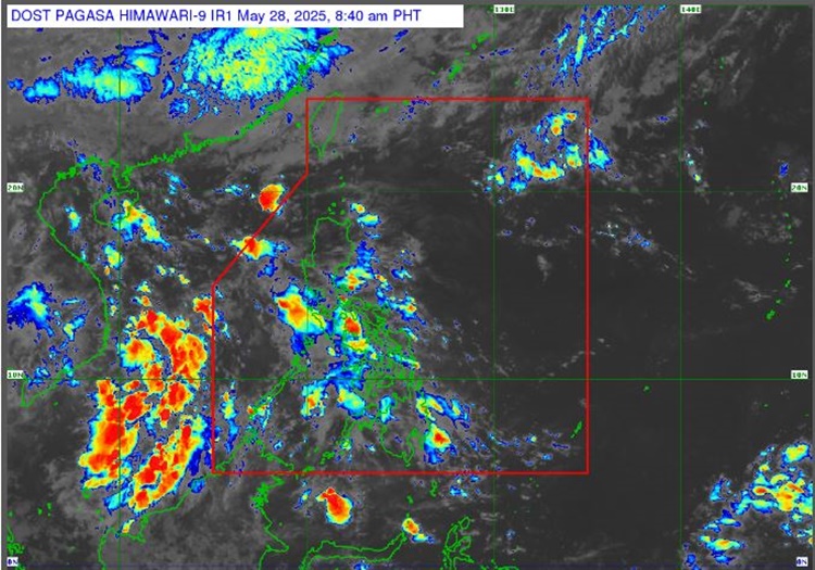
On Wednesday (May 28, 2025), the Philippine Atmospheric, Geophysical, and Astronomical Services Administration released the latest weather update in the country. The LPA’s trough will affect the country’s weather conditions.
PAGASA weather specialist Benison Estareja is monitoring a low-pressure area (LPA) outside the Philippine Area of Responsibility. It has a slim chance of turning into a tropical depression within the next 24 hours.

“This low-pressure area is not expected to become a typhoon. It will continue to move away from our country, and it is possible that it would dissipate in the next 24 hours,” Estareja said.
The trough of the LPA will bring rains to other western sections of Southern Luzon, Visayas, and Mindanao. The frontal system will affect extreme Northern Luzon.
The frontal system will bring cloudy skies with scattered rains and thunderstorms over Batanes and Babuyan Islands.
The LPA’s trough will bring similar weather conditions over Zamboanga Peninsula, Western Visayas, Negros Island Region, Basilan, Sulu, Tawi-Tawi, Palawan, Occidental Mindoro, Oriental Mindoro, and Romblon.
The easterlies will bring fair weather conditions in the morning to noon and hot weather from afternoon to evening, with a chance of isolated rainshowers or thunderstorms over Metro Manila and the rest of Central Luzon and Northern Luzon.
“In Extreme Northern Luzon, there is the frontal system or the line where the warm easterlies and the cold winds from the north meet, so the chances of rain in the next few days over Extreme Northern Luzon are also high,” he explained.
Possible flash floods or landslides are expected in the affected areas due to moderate to at times heavy rains and severe thunderstorms, according to PAGASA.
READ ALSO: PAGASA Releases Latest Weather Update for Tuesday (May 27, 2025)