PAGASA Says LPA and Habagat to Affect PH Weather Condition
PAGASA LATEST UPDATE – The state weather bureau reported that a low-pressure area and habagat will bring rains over parts of the country.
On Thursday (May 29, 2025), the Philippine Atmospheric, Geophysical and Astronomical Services Administration released the latest weather update in the country. Two weather systems will affect the country’s weather conditions.
PAGASA weather specialist Benison Estareja reported that a low-pressure area is being monitored outside the Philippine Area of Responsibility. It has a low chance of developing into a tropical depression.

The LPA’s trough will bring cloudy skies with scattered rains and thunderstorms over Palawan, Oriental Mindoro, and Occidental Mindoro.
The easterlies will bring partly cloudy to cloudy skies with isolated rainshowers or thunderstorms over Metro Manila and the rest of the country.
The southwesterly wind flow will bring rain showers over the western part of Luzon.
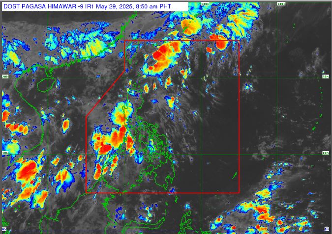
“The nature of the southwesterly wind flow is it brings rains, light to moderate with at times heavy rains and sometimes strong ones, that can cause flooding and landslides,” Estareja said.
“The southwesterly wind flow, this is what we consider to be the initial southwesterly wind,” he added.
Habagat will bring light to moderate with at times heavy rains in the western part of Luzon, including Batanes, Babuyan Islands, Ilocos Region, Zambales, and Bataan, as well as in Batangas, Cavite, and Occidental Mindoro.
It will also bring cloudy skies over Metro Manila and in some areas of northern Central Luzon, Calabarzon, and the Mindoro provinces.
Fair weather conditions are expected over Mindanao region with a chance of rain in the Bangsamoro Region and Zamboanga Peninsula.
The weather agency has advised the residents in the affected areas to take precautionary measures for possible flash floods or landslides due to moderate to at times heavy rains.
RELATED POST: PAGASA Releases Latest Weather Update for Wednesday (May 28, 2025)