PAGASA Releases Latest Weather Update for Friday (July 16)
The state weather bureau PAGASA is currently monitoring two low-pressure areas and isolated rainshowers are expected over the entire country.
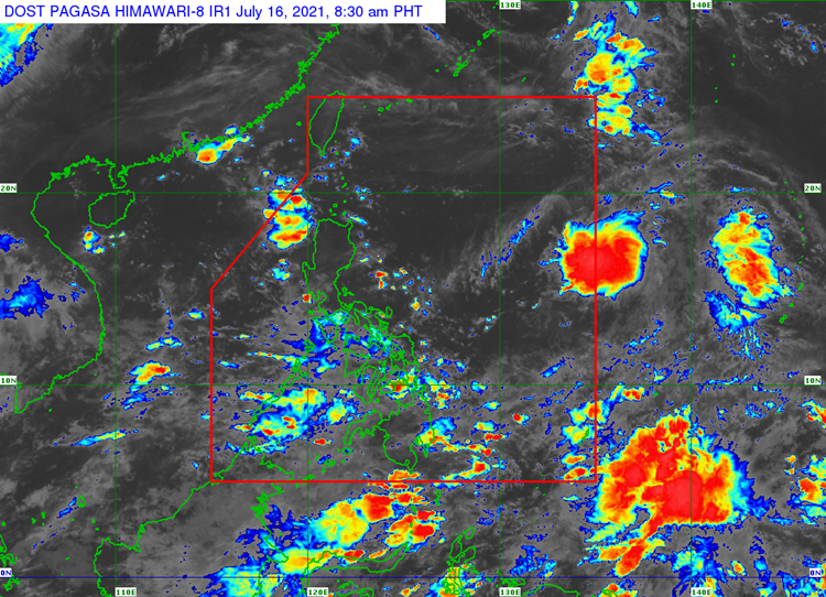
On Friday (July 16, 2021), the Philippine Atmospheric, Geophysical and Astronomical Services Administration released the latest weather update. The two low-pressure areas are expected to affect the country’s weather condition.
PAGASA is monitoring two low pressure areas and one of them is already inside the Philippine area of responsibility. It was located 240 kilometers east of Northern Luzon and has a high chance of turning into a tropical cyclone due to the southwest monsoon.

The other LPA outside PAR was last spotted at 240 kilometers northwest of Laoag City and has a slim chance of developing into a tropical cyclone. The two LPAs have no direct effect to the country’s weather condition.
The southwest monsoon would bring cloudy weather condition with scattered rainshowers and thunderstorms over Oriental Mindoro, Marinduque and Romblon. The localized thunderstorms would bring similar weather condition over Western Visayas, Palawan including Kalayaan Islands.
Partly cloudy to cloudy condition with isolated rainshowers or thunderstorms over Bicol Region and Northern Samar. The coastal water condition over the entire Philippines would be slight to moderate.
Read Also: PAGASA Says LPA To Bring Cloudy Conditions & Scattered Rains Over Parts of PH
What can you say about the latest weather update? Just feel free to leave your comments and reactions to this article.
Read Also: PAGASA: LPA & Habagat to Bring Cloudy & Scattered Rains Over Parts of PH