PAGASA Announces Tropical Depression Marilyn Enters PAR
The state weather bureau PAGASA announced that Tropical Depression Marilyn has entered the Philippine Area of Responsibility (PAR).
On Thursday morning (September 12, 2019), the Philippine Atmospheric, Geophysical and Astronomical Services Administration (PAGASA) released the latest weather updates in the country.
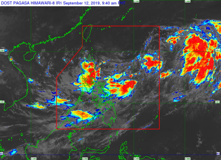
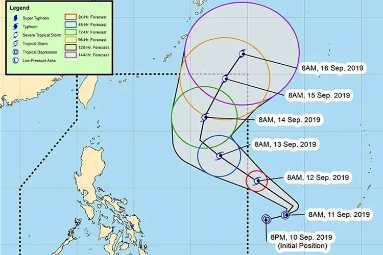
PAGASA said that the tropical depression they are monitoring out the country’s vicinity has already entered PAR and given a local name “Marilyn”. The weather disturbance is expected to bring moderate to heavy rains over Luzon and Visayas.
Marilyn was last spotted at 1,645 kilometers east of Central Luzon packing maximum sustained winds of 55 kilometers per hour and gustiness of up to 70 kph. It is also expected to develop into a severe tropical storm on Sunday morning (September 16).
The tropical depression’s trough or extension may cause flooding and landslides over Visayas, Calabarzon, Bicol, Mimaropa and Zamboanga regions, and Aurora, Quirino, Isabela, and Cagayan provinces.
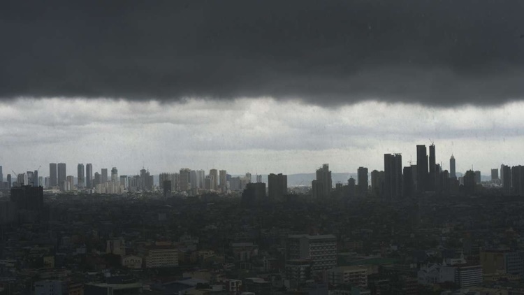
The localized thunderstorms are also expected over the Metro Manila and the rest of the country. The combined effects of the storm and southwest monsoon or locally known as Habagat would bring rains over many parts of the country.
Tropical depression Marilyn is the 13th storm to enter the Philippines this year 2019.
What can you say about this? Just feel free to leave your comments and reactions to this article.