PAGASA: Ineng To Become Tropical Storm But Unlikely To Cause Landfall
PAGASA – A recent update from PAGASA on Wendesday says that while “Ineng” will become a cyclone, it is predicted not to make landfall.
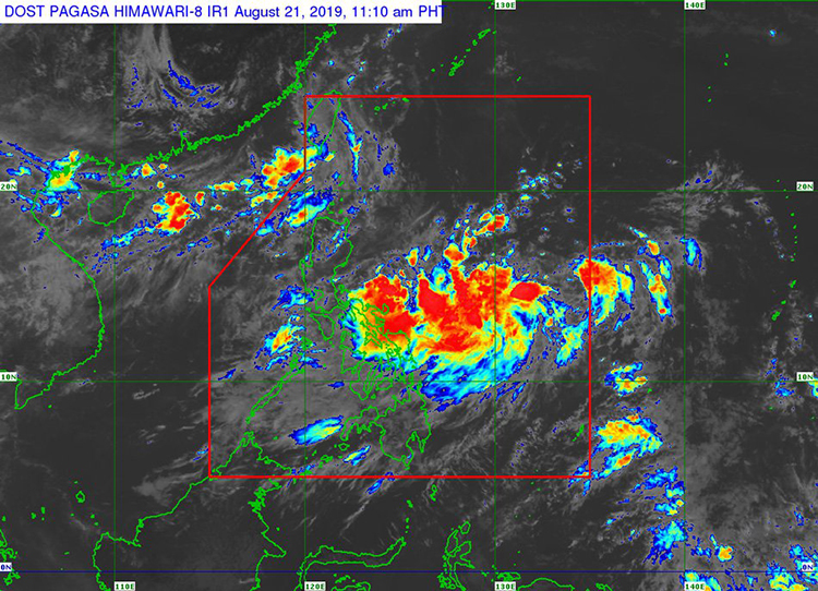
The low pressure area (LPA) affecting the eastern part of the country is currently called “Ineng” as it is expected to become a tropical depression by Thursday, according to a recent article in ABS-CBN. It has been previously reported earlier this day that Ineng is expected not to affect the capital until Friday.
The recent update by the weather bureau recently said that as of 10AM on August 21 (Wednesday), Ineng was detected to be at about 1,155 kilometers east of the municipality of Infanta, Quezon. PAcked with maximum winds and gusts of up to 55 kilometers per hour and 70 kilometers per hour, respectively, the LPA continues to move northwest at a slow pace.
As per the report, Ineng is predicted to leave the Philippine Area of Responsibility on Sunday (August 25). The following areas will experience light to moderate with intermittent heavy rainfall due to the outer bands of the LPA:
- Bicol Region
- Eastern Visayas
The following areas will also experience the same weather condition due to the southwest monsoon:
- MIMAROPA
- Western Visayas
- Central Visayas
Same weather will also be experienced by these following areas but by another low pressure area near Taiwan that also has a slight chance of becoming a cyclone:
- Batanes
- Babuyan Group of Islands
What do you think? How will you react to this? Let us know more about it.