Combined Effects of LPA & Southwest Monsoon Bring Rains Over Parts of the Country, PAGASA Says
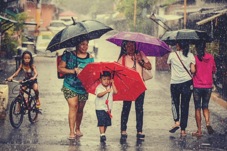
The state weather bureau PAGASA said that the combined effects of the low-pressure area and southwest monsoon would bring rains over parts of the Philippines.
On Saturday (August 3, 2019), the Philippine Atmospheric, Geophysical and Astronomical Services Administration (PAGASA) released the latest weather updates in the country.
PAGASA said that the low-pressure area and the southwest monsoon would continue to affect the country’s weather condition. The LPA would affect Visayas and Bicol while monsoon rains are expected in western Luzon.
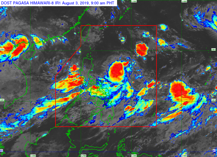
The trough of the low-pressure area last located at 1,135 kilometers east of Virac, Catanduanes would bring cloudy weather conditions with scattered rain showers and thunderstorms over Visayas, Bicol Region, Caraga, and Northern Mindanao.
The Habagat would bring monsoon rains over the Cordillera Administrative Region, Ilocos Region, Zambales, Bataan, Pampanga, Metro Manila, Mimaropa, and Calabarzon.
The localized thunderstorms would also bring partly cloudy to cloudy condition with the possibility of rain over Cagayan Valley and Mindanao.
The weather agency said that the LPA located east of Virac, Catanduanes may develop into a tropical depression on Sunday (August 4) or Monday (August 5).
The possible LPA will be given the local name “Hannah”, but it is not expected to make landfall in the country.
Meanwhile, the surrounding sea conditions over the entire archipelago would be slight to moderate, according to the weather bureau.
What can you say about this? Just feel free to leave your comments and reactions to this article.