Typhoon Man-Yi To Enter PAR On Weekend As It Moves Closer To PH, PAGASA Says
The state weather bureau PAGASA reported that Typhoon Man-yi continues to approach the Philippines and expected to enter PAR over the weekend.
On Friday afternoon (November 23, 2018), the Philippine Atmospheric, Geophysical and Astronomical Services Administration (PAGASA) reported the latest updates about Typhoon Man-yi.
The typhoon was last located at 1,255 kilometers east of Southern Luzon and expected to enter the Philippine Area of Responsibility (PAR) on Saturday (November 24, 2018).
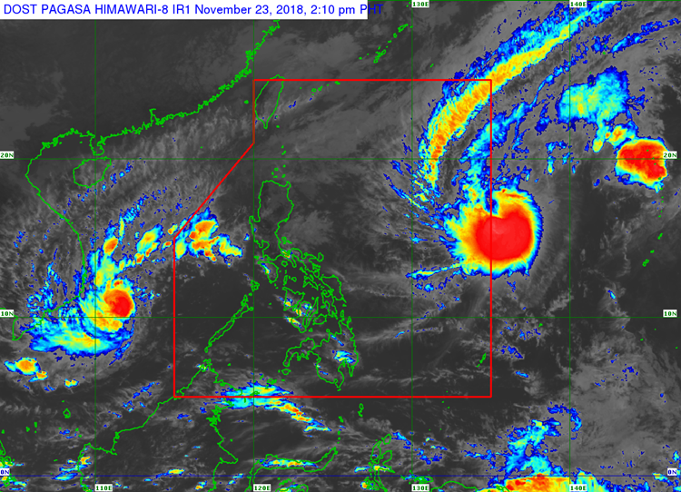
Man-yi slightly intensified today packing maximum sustained winds of 145 kilometers per hour (kph) and gustiness of up to 180 kph moving 25 kph at a northwestward direction.
The weather disturbance will be given a local name “Tomas” if it enters the country’s vicinity tomorrow morning.
PAGASA said that Man-yi was unlikely to make a landfall in any parts of the country but might still affect the weather condition.
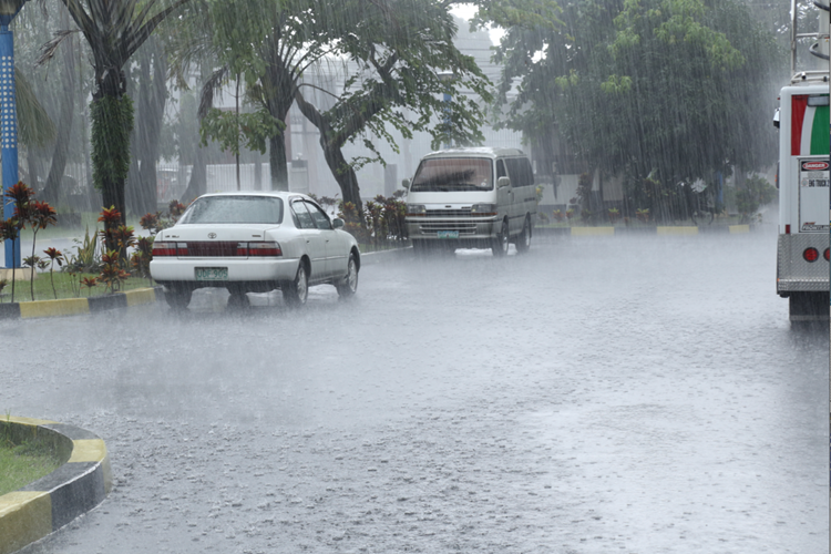
Meanwhile, Cagayan Valley, the Ilocos Region, and the Cordillera Administrative Region would have isolated light rains due to the northeast monsoon.
The weather agency also raised gale warning due to the northeast monsoon over the Babuyan Group of Islands, Calayan, the northern coast of Cagayan, the northern and western coasts of Ilocos Norte, Ilocos Sur, La Union, and Pangasinan.
The weather bureau also warned the fishermen in the areas under the gale warning that sea venture remains risky.
In the other hand, Tropical Depression Samuel intensified into a tropical storm after leaving PAR.
What can you say about this? Just feel free to leave your comments and reactions to this article.