PAGASA: Potential Tropical Cyclone Expected To Enter PH This Weekend
The state weather bureau PAGASA warned that a potential tropical cyclone was expected to enter the country during this weekend.
On Thursday (September 20, 2018), the Philippine Atmospheric, Geophysical and Astronomical Services Administration (PAGASA) released the latest weather updates in the country.
PAGASA reported that a low-pressure area was located at 2,550 kilometers east of Mindanao, which belongs to the intertropical convergence zone (ITCZ).

The low-pressure area might develop into a tropical depression and will be locally named ‘Paeng’ once it entered the Philippine Area of Responsibility (PAR).
PAGASA weather forecaster Gener Quitlong said that the weather disturbance was expected to enter the country’s vicinity on Friday (September 21) or Saturday (September 22).
The weather disturbance would bring light to moderate rains over the Visayas and Mindanao as well as over Southern Luzon.
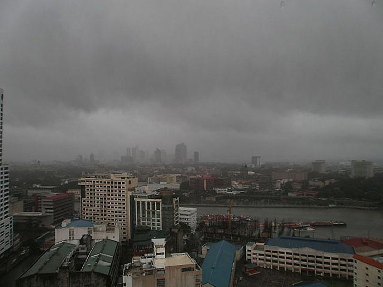
The LPA was also expected to intensify the southwest monsoon (Habagat) that would bring rains over the western section of the Philippines.
Metro Manila, Bicol region, Calabarzon, Mimaropa, the Visayas and Aurora province would have cloudy skies with scattered rains due to the ITCZ.
Meanwhile, partly cloudy to cloudy skies with isolated rainshowers due to thunderstorms would be experienced in the rest of the country.
Quitlong also warned the residents in the affected areas to take precautionary measures for possible flashfloods and landslides.
What can you say about this? Just feel free to leave your comments and reactions to this article.