1 Out Of 2 Low-Pressure Areas Within PAR Expected To Develop As Tropical Cyclone
One out of two low-pressure areas with the Philippine Area of Responsibility (PAR) was expected to develop as a tropical cyclone.
On Monday (August 06, 2018), the Philippine Atmospheric, Geophysical and Astronomical Services Administration (PAGASA) reported that at least two low-pressure areas were spotted inside PAR.
The weather disturbance spotted at 1,280 kilometers east of Tuguegarao City might intensify as a tropical depression.
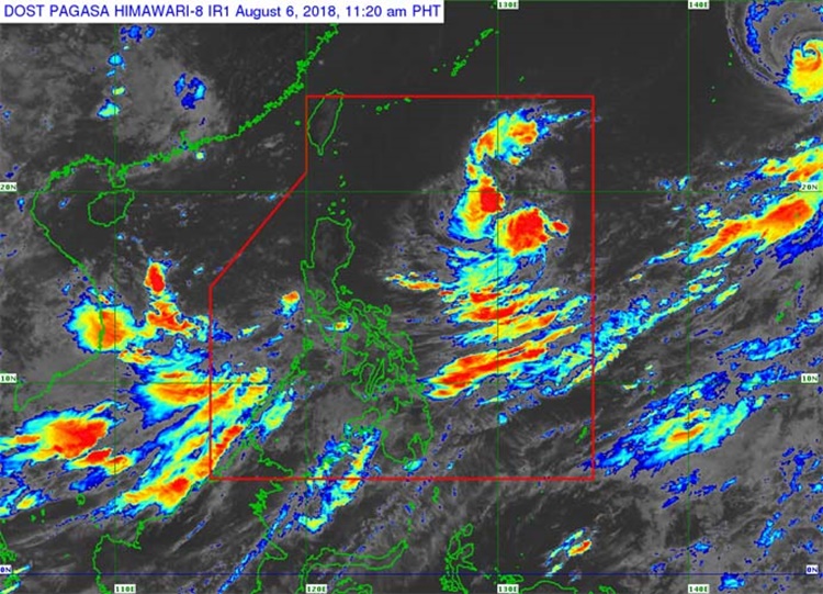
The weather specialist Meno Mendoza said that the tropical cyclone would be locally named as “Karding” if it enters PAR.
The possible tropical cyclone might enhance the southwest monsoon and expected to affect the weather country’s condition although it was not expected to make a landfall.
The other LPA was located at 615 kilometers west of Subic, Zambales has lesser chance to intensify as a cyclone.
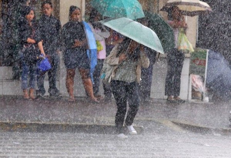
The Habagat would bring isolated rains or thunderstorms over Zambales, Bataan, Cavite, Batangas, Oriental Mindoro, Occidental Mindoro, Marinduque, Romblon, Palawan, Aklan, Antique, Capiz, Guimaras, Iloilo and Negros Occidental.
Partly cloudy skies with isolated rains or thunderstorms are also expected over Metro Manila, Masbate, Catanduanes, Sorsogon, Albay, Camarines Sur, Camarines Norte, Laguna, Rizal, Quezon, Aurora, Bulacan, Nueva Ecija, Pampanga, Tarlac, and the rest of Visayas.
PAGASA also warned the resident in the affected areas to have precautionary measures for possible flashfloods and landslides.
What can you say about this? Just feel free to leave your comments and reactions to this article.