Latest Updates About Tropical Storm Caloy (March 27) Released By PAGASA
The state weather bureau PAGASA has released the latest updates regarding Tropical Storm Caloy after entering the Philippine Area of Responsibility (PAR).
On Tuesday morning (March 27, 2018), the Philippine Atmospheric, Geophysical and Astronomical Services Administration (PAGASA) said that Bagyong Caloy entered the country.
PAGASA announced that the weather disturbance with an international name of “Jelawat” might not make a landfall over any part of the Philippines.
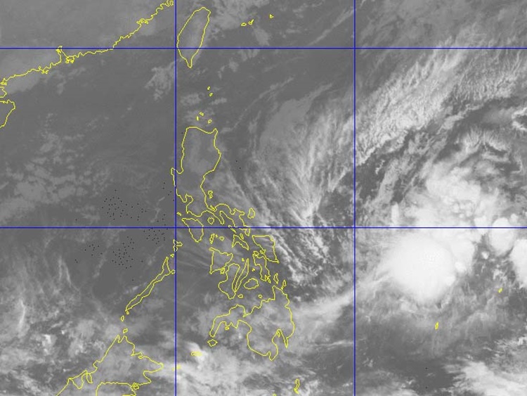
The weather agency made the announcement because of the recurving track of the tropical storm, which was last spotted at 1,015 kilometers east of Surigao City, Surigao del Norte around 10 am on Tuesday morning.
Bagyong Caloy has maximum sustained winds of 65 kilometers per hour (kph) and could gusts up to 80 kph moving 15 kph north-northwest.
However, the state weather bureau did not yet raised any tropical storm warning signal but might bring moderate to heavy rainfall in some parts of the country.


The weather disturbance was expected to leave PAR by Good Friday morning (March 30, 2018).
What can you say about this? Just feel free to leave your comments and reactions to this article.
You can also read Heartbreaking Photo Of Graduate Posing Next To Her Mother’s Casket During Funeral