PAGASA warns that storm surge as high as four to fourteen meters is likely to happen as Typhoon Lawin smashes the Philippines.
The Philippine Atmospheric, Geophysical and Astronomical Administration (PAGASA), warns the public on the threats of possible occurrence of storm surge in places hit by Typhoon Lawin.
In the latest weather bulletin of the state weather agency, an approximately four meters to 14 meters high storm surge is likely to happen in Cagayan, Isabela, Northern Aurora, Quirino and other places put under public storm warning signal number 2.
Waves are approximately going to be as high as four meters in Bicol region, Quezon province and some parts of Aurora.
According to PAGASA, the advisory must not be taken lightly while the center of typhoon Lawin nears the ground.
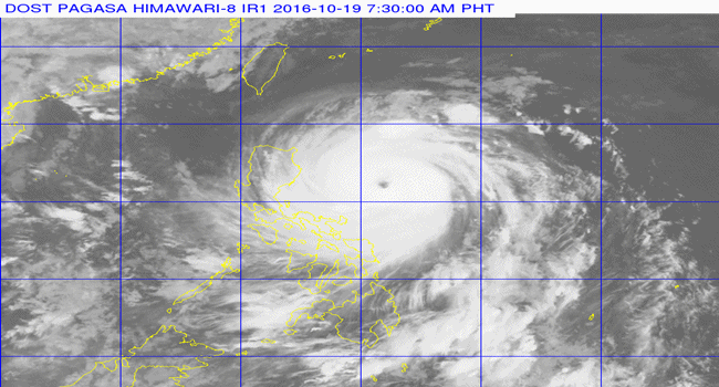
Typhoon Lawin gains more strength and continues to threaten Northern Luzon.
According to PAGASA, the estimated rainfall amount is from moderate to heavy within 700 km diameter of the typhoon. It is expected to intensify further before making landfall.
It is expected to make landfall over Cagayan Area by early Thursday morning, October 20, then it is expected to cross Apayao and Ilocos Norte.
Please read the continuation on the next page.