PAGASA Says LPA and Habagat to Affect PH Weather
PAGASA LATEST UPDATE – The state weather bureau reported that LPA and habagat will bring rains over parts of the country.
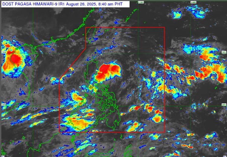
On Tuesday (August 26, 2025), the Philippine Atmospheric, Geophysical and Astronomical Services Administration released the latest weather update in the country. A low-pressure area and habagat will affect the country’s weather condition.
PAGASA weather specialist Obet Badrina reported that a low-pressure area and the Southwest Monsoon or Habagat will bring rains over Luzon, Mindanao and the eastern parts of the Visayas.

“If it does become a tropical cyclone, it is possible within the day only and will eventually dissipate as it moves westward,” Badrina said.
The LPA was spotted over the coastal waters of Paracale, Camarines Norte. It will bring cloudy skies with scattered rains and thunderstorms over Metro Manila, Cagayan Valley, Cordillera Administrative Region, Central Luzon, CALABARZON, Bicol Region, and Eastern Visayas.
“Many parts of Luzon will experience moderate to heavy rains due to the LPA and habagat, particularly in Cagayan Valley, Cordillera, Central Luzon, Metro Manila, Calabarzon, Bicol region, and Mimaropa,” Badrina explained.
The southwest monsoon will bring similar weather condition over MIMAROPA, Zamboanga Peninsula, BARMM, Northern Mindanao, Caraga, and the rest of Visayas.
The localized thunderstorms will bring partly cloudy to cloudy skies with isolated rainshowers or thunderstorms over the remaining parts of the country.
The weather agency has advised the residents in the affected areas to take precautionary measures for possible flash floods or landslides to at times heavy rains due to moderate to at times heavy rains and severe thunderstorms.
The coastal water condition across the country will be slight to moderate, according to PAGASA. No gale warning was raised over any of the country’s seaboard.
RELATED ARTICLE: PAGASA Releases Latest Weather Update for Monday (August 25, 2025)