Signal No. 3 Raised Over Catanduanes as Typhoon Rolly Moves Towards Bicol Region, According to PAGASA
The state weather bureau PAGASA raised Signal no. 3 in Catanduanes as Typhoon Rolly moves closer to Bicol and maintained its strength.
On Saturday (October 31, 2020), the Philippine Atmospheric, Geophysical and Astronomical Services Administration released the latest updates regarding Typhoon Rolly on its 11 am weather bulletin.
PAGASA reported that Rolly’s eye was last spotted at 480 kilometers east northeast of Virac, Catanduanes. Rolly maintained its maximum sustained winds of 215 kilometers per hour and gustiness of 265 kph.
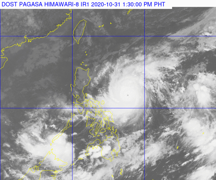
Rolly can be considered as super typhoon if its maximum wind speeds released at least 220 kph. The typhoon is currently moving towards the Bicol region and it was expected to pass very close to Catanduanes and mainland Camarines provinces on Sunday morning (November 1).
As of now, the weather disturbance remains under the typhoon category (185-205 kph) when it hits Bicol and Quezon. The typhoon would also bring heavy to intense downpour over Metro Manila, Bicol Region, Calabarzon, Central Luzon, Marinduque, parts of Occidental Mindoro and Oriental Mindoro.
Meanwhile, other regions in the country remain under lover storm signals, according to the weather bureau. The typhoon is expected to leave the Philippine Area of Responsibility by Monday (November 2, 2020).

National Disaster Risk Reduction and Management Council Director Ricardo Jalad said that Typhoon Rolly would be the strongest storm to hit the country after Typhoon Yolanda devastated the country in November 2013.
What can you say about this? Just feel free to leave your comments and reactions to this article.
Read Also: PAGASA: Typhoon Rolly Moves Closer to Bicol, Signal No. 2 Up in 4 Provinces