Low-Pressure Area Enters PAR and Expected To Intensify Habagat, PAGASA Says
The state weather bureau PAGASA reported that a low-pressure area has entered the Philippine Area of Responsibility and it is expected to intensify the ‘Habagat’.
On Thursday (August 1, 2019), the Philippine Atmospheric, Geophysical and Astronomical Services Administration (PAGASA) released the latest weather updates in the country.
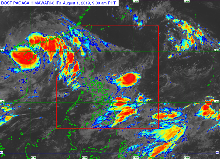
PAGASA said that a low-pressure area was spotted at 460 kilometers east of Virac, Catanduanes. The weather system is expected to enhance the southwest monsoon that will bring monsoon rains over the next few days.
However, the weather specialist Ariel Rojas said that the weather disturbance is unlikely to intensify into a tropical storm.
The weather agency is also monitoring Tropical Storm Wipha, which is located at the extreme section of northern Luzon. Wipha has maximum sustained winds of 75 kilometers per hour and gustiness of up to 90 kph.
Meanwhile, the enhanced southwest monsoon would bring rains and thunderstorms over the western part of Luzon particularly in Zambales, Bataan, Bicol Region, and Samar provinces.
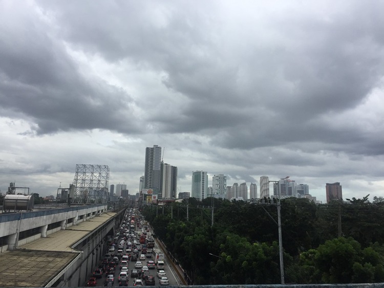
Partly cloudy to cloudy weather conditions with isolated rain showers and thunderstorms are also expected over Metro Manila and the remaining parts of the country.
Rough to very rough coastal water conditions are expected over the western coast of Ilocos Norte, Ilocos Sur, La Union, Pangasinan, Zambales, Bataan, Occidental Mindoro, and northern Palawan, according to the weather bureau.
What can you say about this? Just feel free to leave your comments and reactions to this article.