Latest Updates About LPA in Mindanao Released by PAGASA
The state weather bureau PAGASA released the newest and the latest updates regarding the low-pressure area found in Mindanao.
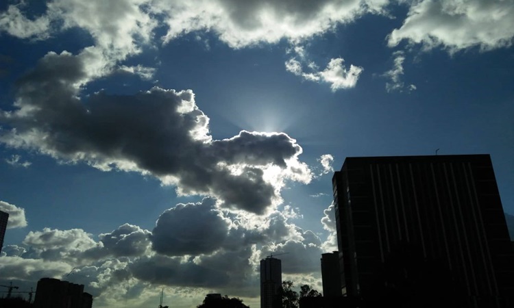
On Thursday (May 9, 2019), the Philippine Atmospheric, Geophysical and Astronomical Services Administration (PAGASA) reported the current weather condition in the country.
PAGASA is currently monitoring the low-pressure area spotted at 990 kilometers east of Mindanao outside the Philippine Area of Responsibility (PAR).

The weather system has a small chance of developing into a typhoon but was expected to enter the country’s territory on Thursday (May 9, 2019). The two LPAs within PAR have dissipated on Wednesday (May 8, 2019).
The frontal system was expected to bring cloudy weather conditions and scattered rainshowers and thunderstorms over the provinces of Cagayan, Isabela, central Luzon, CALABARZON, MIMAROPA and Bicol Region.
It would also bring partly cloudy to cloudy conditions with isolated rainshowers and thunderstorms over Palawan.
The thunderstorms would also bring cloudy conditions and isolated rainshowers over Metro Manila, northern Luzon, Ilocos Region, Cordillera, and the rest of Cagayan Valley.
Fairweather condition was expected over Visayas and Mindanao but could experience isolated rainshowers and thunderstorms in the afternoon, according to the weather agency.
What can you say about this? Just feel free to leave your comments and reactions to this article.