PAGASA Announces New Low-Pressure Area Expected To Enter PAR
The state weather bureau PAGASA announced that a new low-pressure area was expected to enter the Philippines this weekend.
On Thursday (November 15, 2018), the Philippine Atmospheric, Geophysical and Astronomical Services Administration (PAGASA) released the latest weather updates in the country.
PAGASA reported that another low-pressure area might enter the Philippine Area of Responsibility (PAR) during the weekend and might bring rains in several areas.
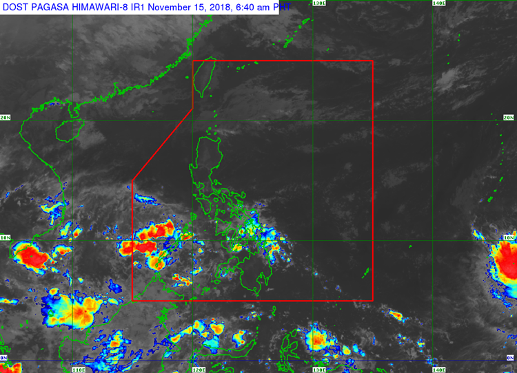
The weather disturbance was last spotted at 370 kilometers southeast of Puerto Princesa City, Palawan.
The LPA would bring cloudy skies with scattered rains and thunderstorms over Palawan, Visayas, northern Mindanao, CARAGA, Zamboanga Peninsula, Basilan, Sulun, and Tawi-Tawi.
PAGASA senior weather specialist Chris Perez said that the LPA could intensify into a tropical cyclone.
“It is expected to intensify further and develop into a tropical cyclone in the next five days,” Perez said.
The next cyclone that will enter the country’s vicinity will be locally named “Samuel”.
Meanwhile, the northeast monsoon would bring cloudy conditions with light rains over Batanes and Babuyan Group of Islands.
The “Amihan” would also bring cloudy skies with isolated rains over the Cordillera Administrative Region, Ilocos Region, and the rest of Cagayan Valley.
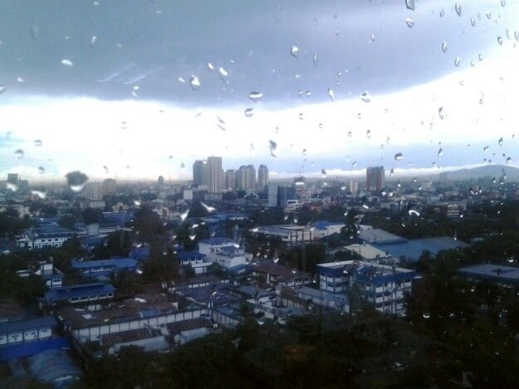
The localized thunderstorms would bring cloudy conditions with isolated rainshowers over Metro Manila and the rest of the country.
The weather agency also advised the residents in the affected areas to take precautionary measures for possible flashfloods and landslides due to the current weather system.
What can you say about this? Just feel free to leave your comments and reactions to this article.