Storm Kong-Rey Expected To Enter Philippines, PAGASA Says
The state weather Bureau PAGASA announced that storm Kong-Rey was expected to enter the Philippine Area of Responsibility (PAR) this week.
On Monday (October 1, 2018), the Philippine Atmospheric, Geophysical and Astronomical Services Administration (PAGASA) released that latest weather updates in the country.
PAGASA reported that the storm Kong-Rey could enter the country’s vicinity today or tomorrow (September 2, 2018) and will be given a local name ‘Queenie’.

The weather disturbance was last spotted at 1,615 kilometers east of Southern Luzon moving 20 kph at a northwest direction.
Kong-Rey has maximum sustained winds of 110 kilometers per hour (kph) and gustiness of up to 135 kph.
The weather agency explained that the storm would not have a direct effect to any part of the country but might cause very rough seas over northern and eastern seaboards of Luzon and eastern seaboard of Visayas for days.
PAGASA weather forecaster Aldczar Aurelio said that Kong-Rey’s trough would bring scattered rains over the Eastern Visayas.
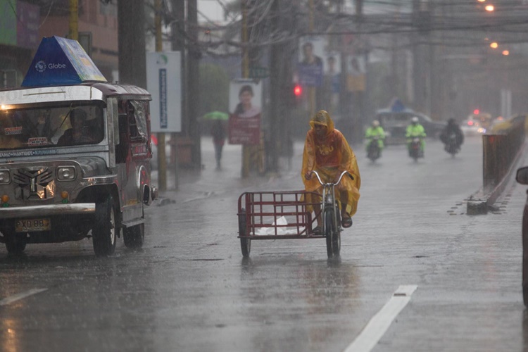
Metro Manila and the rest of the country would have a good weather but condition might experience isolated rains due to thunderstorms.
Aurelio also said that there’s a possibility that Kong-Rey might intensify into a typhoon while inside PAR.
What can you say about this? Just feel free to leave your comments and reactions to this article.