PAGASA Released Latest Weather Updates On Bagyong Vinta
The state weather bureau PAGASA has released the latest weather updates regarding Bagyong Vinta with an international name of Tembin.
On Thursday (December 21, 2017), the Philippine Atmospheric, Geophysical and Astronomical Services Administration (PAGASA) announced that the tropical depression Vinta has now intensified into a tropical storm.
The tropical storm is expected to make landfall over Davao Region area either Thursday evening or Friday morning (December 22, 2017).
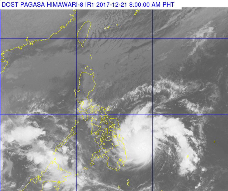
Vinta was last spotted at 510 km East of Hinatuan, Surigao Del Sur (09.0 °N, 130.9 °E) based on all available data.
Bagyong Vinta has maximum sustained winds of 65 kilometers per hour (kph) and could gusts up to 80 kph moving 18 kph west.
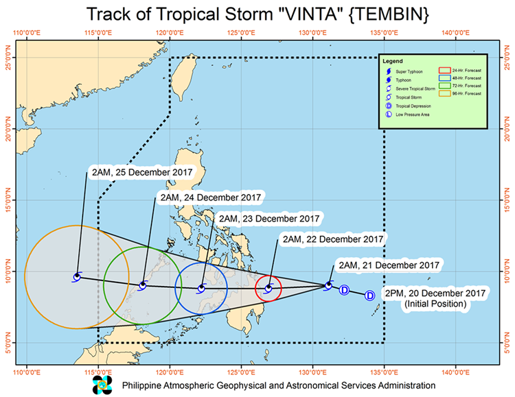
Here are the hourly updates regarding the weather disturbance:
- December 22 (Friday) – 80 km Northeast of Hinatuan, Surigao del Sur
- December 23 (Saturday) – 130 km West of Dipolog City, Zamboanga del Norte
- December 24 (Sunday) – 110 km Southwest of Puerto Princesa City, Palawan
- December 25 (Monday) – 170 km South-Southwest of Pagasa Island, Palawan (OUTSIDE PAR)
Storm warning signals have been also raised in different areas in the country:
Signal No. 1
- Southern Leyte
- Dinagat Island
- Davao del Norte
- Compostela Valley
- Northern Davao Oriental
- Northern Davao del Sur
- North Cotabato
- Bukidnon
- Misamis Oriental
- Camiguin
Signal No. 2
- Surigao del Sur
- Surigao del Norte
- Agusan del Norte
- Agusan del Sur
The weather bureau also announced that storm signal no. 1 could raise in Bohol, Lanao del Norte, Lanao del Sur, and Maguindanao within few hours.
What can you say about this? Just feel free to leave your comments and reactions to this article.
You can also read Taxi Driver Asks LTFRB To Revoke Attacker’s Driver’s License