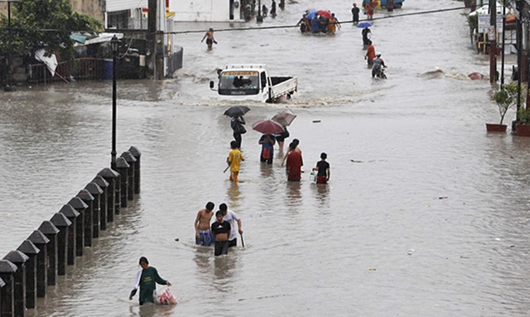
There is a big chance for La Niña to hit the country.
PHILIPPINES – Developing weak La Niña has a big chance to hit the country next month until the first quarter of 2018 according to a bulletin from PAGASA.
La Niña is accordingly “a climate pattern that describes the cooling of surface ocean waters along the tropical west coast of South America and is a counterpart of the El Nino characterized by unusually warm ocean temperatures in the equatorial region of the Pacific Ocean.”
Philippine Atmospheric, Geophysical, and Astronomical Services Administration were able to release an advisory to the people yesterday to expect more rains and flooding for the coming months due to the developing La Niña.
The officer-in-charge of the Philippine Atmospheric, Geophysical and Astronomical Services Administration (PAGASA)’s climate monitoring and prediction section, Ana Liza Solis said as per the citing forecasts from the international climate prediction centers.

According to a report from The Philippine Star, Solis further added starting next month until December, the country will likely to experience near to above normal rainfall.
And on January of the next year, Luzon is expected to have low to lower than normal rainfall and across the remaining island, the Visayas and the Mindanao, they are likely to experience above normal rains in its most parts.
PAGASA even said that a “back-to-back La Niña is not unusual and has occurred at least five times since 1950.”
As per the source, Solis indicated that from November to April next year, there would be at least five expected tropical cyclones are to enter the Philippine Area of Responsibility (PAR).
It was on Sunday when the Typhoon Pablo has left the country but another low-pressure area is being monitored along the Pacific Ocean.
What can you say about this?
Read also the previous article: Kris Aquino Reveals Reason Why Willie Revillame Helps Her Return To TV
