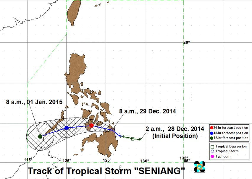
The Tropical Depression Seniang intensified into a Tropical Storm and has made a landfall over Surigao del Sur, according to the confirmation released by the country’s weather bureau, PAGASA. Based upon the 5:00 AM weather bulletin of PAGASA, today, Bagyong Seniang made a landfall over Baculin, Hinatuan, Surigao del Sur.
Bagyong Seniang Hourly Updates:

Bagyong Seniang was packing maximum sustained winds of 65 kilometers per hour near the center and gusts of up to 80 kph. PAGASA also released the areas affected by the tropical storm issuing public storm warning signal No. 2 in various areas hit by the newest weather disturbance to hit the country.
Here’s the Public Storm Warning Signals Issued by PAGASA:
Signal No. 2 (winds of 61-100 kph for at least 24 hours):
- Surigao del Sur
- Surigao del Norte
- Siargao Island
- Agusan del Norte
- Agusan del Sur
- Misamis Oriental
- Camiguin
- Bohol
- Siquijor
Signal No. 1 (winds of 30-60 kph expected in at least 36 hours):
- Dinagat Province
- Compostela Valley
- Northern part of Davao Oriental
- Davao del Norte
- Bukidnon
- Lanao del Norte
- Misamis Occidental
- Zamboanga del Norte
- Leyte
- Southern Leyte
- Camotes Island
- Cebu
- Negros Oriental & Occidental
According to PAGASA, Bagyong Seniang is moving west northwest at 11 kph, it is expected to exit the landmass of Agusan del Norte by Monday noon and will traverse the Bohol Sea.
Bagyong Seniang is forecast to be at 125 kilometers north northwest of Cagayan de Oro City on Tuesday morning and 205 kilometers northwest of Dipolog City on Wednesay morning.
The weather disturbance Seaniang is expected to forecast the Philippine Area of Responsibility on Friday, January 2, 2014.
Here’s the Hourly Updates of Bagyong Seniang:
