The Philippine Atmospheric, Geophysical and Astronomical Services Administration released Weather Bulletin NO. 2 at around 10:30 AM on Wednesday, November 26, 2014 regarding the Tropical Depression Queenie (Bagyong Queenie) which maintained its strength as it continues to move closer toward the Eastern Section of Mindanao.
See Also: Bagyong Queenie November 27, 2014 Latest Updates
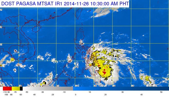
According to PAGASA’s latest weather bulletin, the location of eye or center of Bagyong Queenie was estimated based on available data at 210 km East of Hinatuan, Surigao del Sur with a maximum winds of 45 kph near the center.
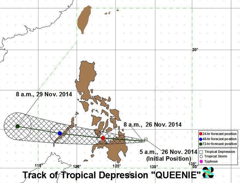
The Tropical Depression Queenie is expected to make landfall over Surigao del Sur this afternoon and traverse the Northern Mindanao area tonight. By tomorrow morning, November 27, 2014, Bagyong Queenie is expected to be at 35 km North of Dipolog City.
On Friday morning, November 28, 2014, Tropical Depression Queenie is expected to be at 105 km West of Puerto Princesa, Palawan and it is expected to be outside the Philippine Area of Responsibility (PAR) by Friday evening and at 710 km West of Puerto Princesa or over the West Philippine Sea by Saturday morning.
PAGASA also released the following Storm Warning Signals:
Signal No. 1 (winds of 30-60 kph): Southern Leyte, Bohol, Southern Cebu, Negros Oriental, Southern Negros Occidental, Siquijor, Surigao del Norte including Siargao Island, Surigao del Sur, Agusan del Norte, Agusan del Sur, Davao del Norte, Davao Oriental, Compostella Valley, Dinagat Province, Camiguin, Misamis Oriental, Misamis Occidental, Bukidnon and Zamboanga del Norte.
Here’s the Track of Bagyong Queenie:
i just want to know the kilometer /hour of the wind to cause rough travel at sea.. thank you