‘Tino’ Expected to Strengthen Quickly, May Bring Heavy Rains & Strong Winds
TINO – Communities across the Visayas and Mindanao are being urged to stay alert as ‘Tino’ could strengthen into a typhoon and bring heavy rainfall, strong winds, and storm surges in the coming days.
The Philippine Atmospheric, Geophysical and Astronomical Services Administration (PAGASA) issued a warning on Sunday, November 2, stating that Tropical Storm Tino (international name: Kalmaegi) could undergo rapid intensification within the next 48 hours and potentially make landfall as a typhoon over Eastern Samar or Dinagat Islands by late Monday, November 3, or early Tuesday, November 4.
In its initial tropical cyclone bulletin released at 11 a.m., PAGASA reported that Tino had maximum sustained winds of 85 kilometers per hour (kph) near the center, with gusts of up to 105 kph. The agency said that “rapid intensification within the next 48 hours is likely” and predicted that Tino may strengthen into a typhoon within 24 hours. It also noted that the chance of Tino developing into a super typhoon “is not ruled out based on alternate scenarios and climatological data.”
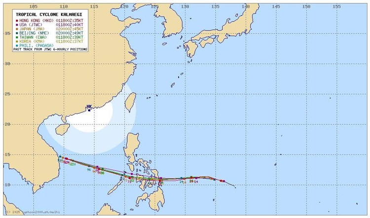
As of 10 a.m., the tropical storm was located 955 kilometers east of Eastern Visayas, moving westward at 30 kph. According to PAGASA’s latest forecast, Tino is expected to continue tracking westward over the next three days and may make its first landfall near peak strength, with maximum winds estimated between 150 and 155 kph. After traversing parts of the Visayas and northern Palawan, the system is projected to exit into the West Philippine Sea by Wednesday, November 5.
Tropical Cyclone Wind Signal No. 1 has been raised over Eastern Samar, Dinagat Islands, and Siargao and Bucas Grande Islands in anticipation of strong winds. PAGASA said these areas could experience minor wind-related effects, though higher signals—possibly up to Signal No. 4—may be issued if Tino continues to intensify.
The agency also cautioned that storm surges could trigger coastal flooding in low-lying areas across the Visayas and parts of Southern Luzon and Mindanao, especially along regions near or just north of the storm’s projected path. Sea conditions are expected to be rough to very rough, with wave heights reaching up to 4.0 meters in some locations. PAGASA urged small vessels and inexperienced sailors to avoid venturing out to sea.

Heavy rainfall is forecast to begin on Monday, with amounts ranging from 100 to 200 millimeters over Eastern Samar, Southern Leyte, Leyte, Cebu, Bohol, Dinagat Islands, and nearby provinces. Other areas in Luzon and Mindanao may also experience moderate to intense rains due to Tino and the prevailing shear line.
Residents in flood-prone and mountainous areas were advised to stay alert for possible flooding and landslides as the storm moves closer to the country.
READ ALSO: Typhoon Paolo Brings Floods & Heavy Rains Across Luzon