Here’s an update about Opong PH from PAGASA.
OPONG PH – An update about the severe tropical storm and the areas under tropical cyclone wind signals (TCWS).
The Philippine Atmospheric, Geophysical, and Astronomical Services Administration (PAGASA) released the latest update about OpongPH, which is now a severe tropical storm. According to an update from the weather state bureau, it has intensified into this category over the Philippine Sea.
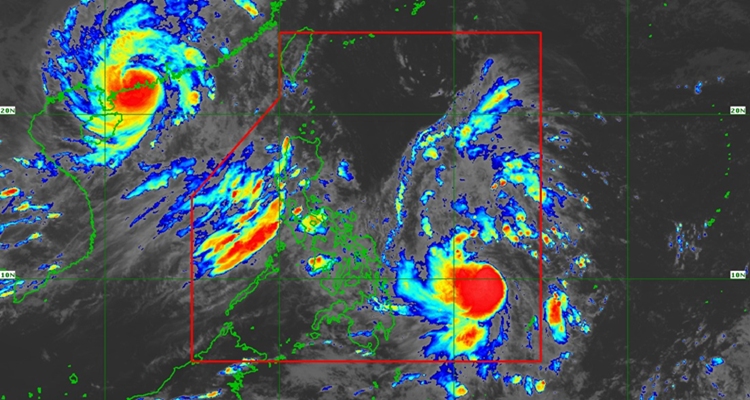
At 4 PM, the center of its location was at 670 km East of Surigao City, Surigao del Norte, moving west northwestward at 20 km/h. It has maximum sustained winds of 95 km/h near the center, gustiness of up to 115 km/h, and a central pressure of 990 hPa.
As reported previously about Opong when it entered PAR or the Philippine Area of Responsibility, the highest Wind Signal that may be hoisted throughout its passage is Wind Signal No. 3. However, based on the latest as of 5 PM of September 24, the highest Wind Signal that may be hoisted throughout its passage is Wind Signal No. 4.
TROPICAL CYCLONE WIND SIGNALS (TCWS) IN EFFECT
Signa No. 1
- Luzon
- Catanduanes, Camarines Sur, Albay, Sorsogon, and Masbate
- Visayas
- Samar, the rest of Eastern Samar, Biliran, and the northern portion of Leyte (Barugo, San Miguel, Babatngon, Tacloban City, Calubian, Leyte, Capoocan, Carigara, Palo)
Signal No. 2
- Visayas
- Northern Samar and the northern portion of Eastern Samar (San Policarpo, Oras, Jipapad, Arteche)
Based on the forecast, Opong may make landfall over the Bicol Region by Friday morning or afternoon, September 26. It will then cross Southern Luzon throughout Friday and continue to move generally west northwestward over the West Philippine Sea until it exits PAR on Saturday, September 27.
It will continue to intensify until it reaches typhoon category before making landfall in the Bicol Region.
What can you say about this? Let us know in the comments!