Here’s an update on Tropical Depression Chedeng as it enters PAR
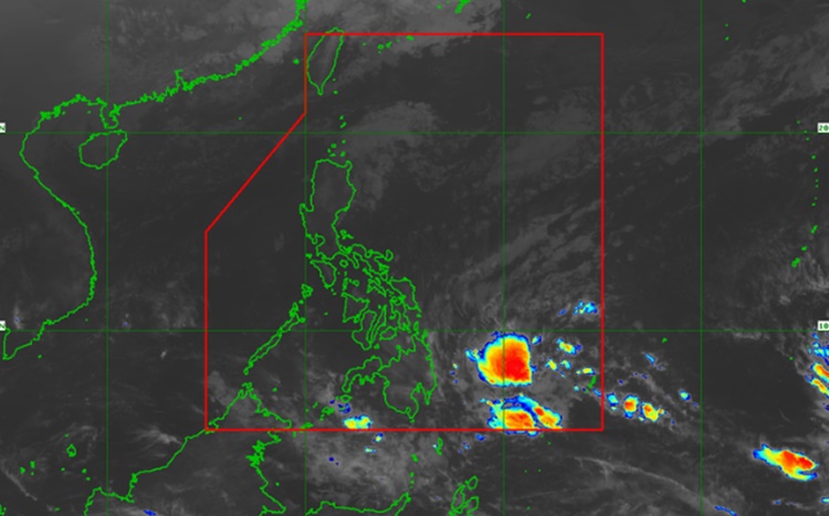
Tropical Depression Chedeng has entered the Philippine Area of Responsibility (PAR) on Sunday afternoon, March 17, and the signal number is raised in 6 areas.
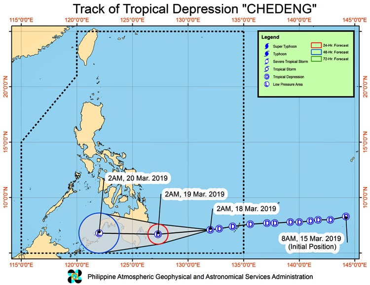
The Philippine Atmospheric, Geophysical and Astronomical Services Administration (PAGASA) said that the center of TD was estimated at 650 km East of Davao City packed with maximum sustained winds of up to 45 km/h near the center and gustiness of up to 60 km/h. This report was recorded as of 4:00 in the morning of March 18.
Chedeng is moving towards the west direction at at 15 km/h.
The tropical cyclone warning signal (TCWS) number 1 is raised over these areas:
- Davao Oriental
- Compostela Valley
- Davao del Sur
- Davao City
- Davao Occidental
- Southern part of Davao del Norte including Samal Island, Eastern part of North Cotabato and Eastern part of Sarangani.
PAGASA warns the residents of these areas that they will experience winds of 30 to 60kph in the 36 hours.
Meanwhile, these areas is expected to experience widespread moderate to heavy rains:
- Surigao del Sur
- Agusan del Sur
- Davao Oriental
- Compostela Valley
- Davao del Norte (March 18)
- and in most parts of Mindanao tomorrow (March 19).
Residents in flood and landslide-prone areas are advised to undertake necessary precautions and keep on monitoring the weather update.
Fisher folks and those who have small seacrafts are advised not to venture out over the eastern seaboards of Visayas and Mindanao.
Based on the report from UNTV News and Rescue, Chedeng is expected to make landfall between Monday night and Tuesday morning over the eastern coast of Davao Oriental.