PAGASA Releases Bagyong ‘Kiko’ Storm Signals & Hourly Updates (Sept. 5)
The state weather bureau PAGASA announced the storm signals and hourly updates about Bagyong ‘Kiko’, which is now heading towards Northern Luzon.
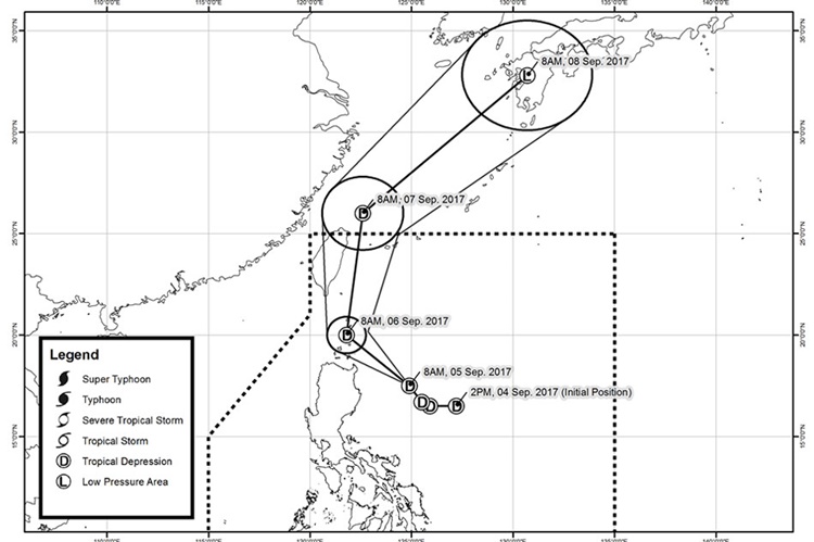
Around 11 am on Tuesday (September 05, 2017), the Philippine Atmospheric Geophysical and Astronomical Services Administration (PAGASA) announced on their weather bulletin that the tropical depression “Kiko” has slightly accelerated.
PAGASA said that there fewer areas now have been placed under warning signal no. 1 due to its increased speed of Kiko moving northwest at 17 kph.
The tropical depression’s center was last found at 350 km East of Tuguegarao City, Cagayan. Kiko has maximum winds of up to 55 kph and gustiness of up to kph near the center.
Northern Cagayan including Babuyan Group of Island and Batanes were now under signal no. 1, while other tropical cyclone warning signals were raised in different regions in the country.
The tropical depression was expected to pass Northern Luzon on Tuesday night and close to Batanes around Wednesday morning. Kiko was expected to leave the country on Thursday (September 07, 2017).
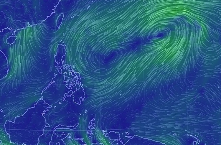
The storm will bring moderate to heavy rain within its 300-kilometer diameter, so the weather bureau advised the fishermen not to venture out due to the bad weather in the affected areas.
Hourly update regarding Bagyong Kiko will be immediately posted once it becomes available. Stay tuned for more updates and information.
What can you say about this? Just feel free to leave your comments and reactions for this article.
You can also read Road Rage Incident Between Vehicle Driver, Armed Motorcycle Rider Goes Viral