The Philippine Atmospheric Geophysical and Astronomical Services Administration (PAGASA) reported on Friday, August 22, 2014, that a Low Pressure Area (LPA) was spotted east of Catanduanes Province in the Bicol Region.
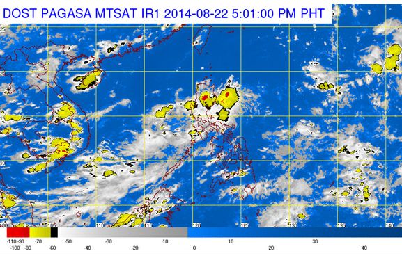
According to PAGASA’s forecast, the LPA was estimated at 260 kilometers northeast of Virac, Catanduanes as of 10:00 AM. The LPA was embedded along the Intertropical Convergence Zone (ITCZ), affecting the Visayas Regions.
In an interview with ABS-CBN radio dzMM, weather forecaster Jun Galang stated that the LPA has a low chance of intensifying into a cyclone, however, it may enhance the southwest monsoon or habagat.
PAGASA noted that the areas of Palawan, Visayas, and the regions of Zamboanga Peninsula and Northern Mindanao will experience light to moderate rains and thunderstorms.
The Metro Manila areas and the rest of the country will have isolated rains or thunderstorms, mostly in the afternoon or evening. Based upon the latest estimates of PAGASA, a total of two to three storms are expected to enter the Philippines before the end of August.
The next tropical cyclone that will visit the country will be named as “Bagyong Kanor.”