According to PAGASA the first Tropical Depression that enters the Philippine Area of Responsibility is “Bagyong Agaton.” As of January 14, 2014 at around 12:00 PM, the location of “Agaton” was estimated based on all available data over 150 km Northeast of Hinatuan Surigao del Sur ( 9.4°N, 127.2°E).
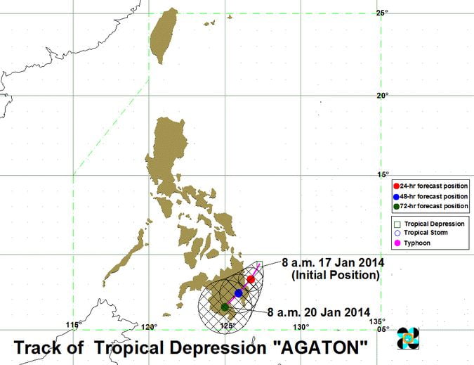
Here’s the Track of Tropical Depression Agaton:
The previous Low Pressure Area was earlier declared by PAGASA as Tropical Depression on their 10:00 AM Weather updates. For the past few days the LPA battered some areas of Mindanao and Eastern Visayas causing landslides and flash floods.
PAGASA forecasts that the “Bagyong Agaton” will travel the paths of Southern Mindanao today and tomorrow, then on Sunday it will hit the southernmost part of Mindanao.
Storm Signal NO. 1 is currently raised in most areas of Mindanao particularly the following areas:
- Dinagat
- Surigao del Sur
- Surigao del Norte including Siargao
- Agusan del Sur
- Agusan del Norte
- Davao Oriental
- Compostela Valley
The Tropical Depression Agaton has a maximum sustained winds of 55 kph near the center. The estimated rainfall amount is from 5 – 15 mm per hour (moderate – heavy) within the 300 km diameter of the Tropical Depression.
Bagyong Agaton will bring moderate to occasionally heavy rains and thunderstorms over Eastern and Central Visayas. Sea travel is risky over the seaboards of Luzon, Visayas and Caraga Region.