PAGASA Releases Latest Weather Updates for Wednesday (September 23)
LATEST WEATHER UPDATE – The state weather bureau PAGASA reported that a low-pressure area and habagat would bring rains over some parts of the country.
On Wednesday (September 23, 2020), the Philippine Atmospheric, Geophysical and Astronomical Services Administration released the latest weather updates. Inclement weather conditions are expected over Caraga in Mindanao and parts of Visayas.
PAGASA reported that the low-pressure was last spotted at 365 kilometers east of Catarman, Northern Samar. The LPA and the southwest monsoon would bring cloudy weather conditions with scattered rain showers and thunderstorms over the Caraga region, central and eastern Visayas.
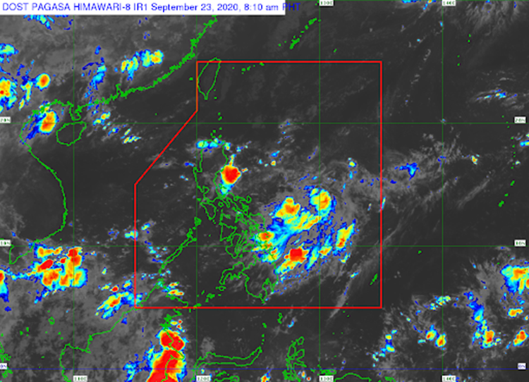
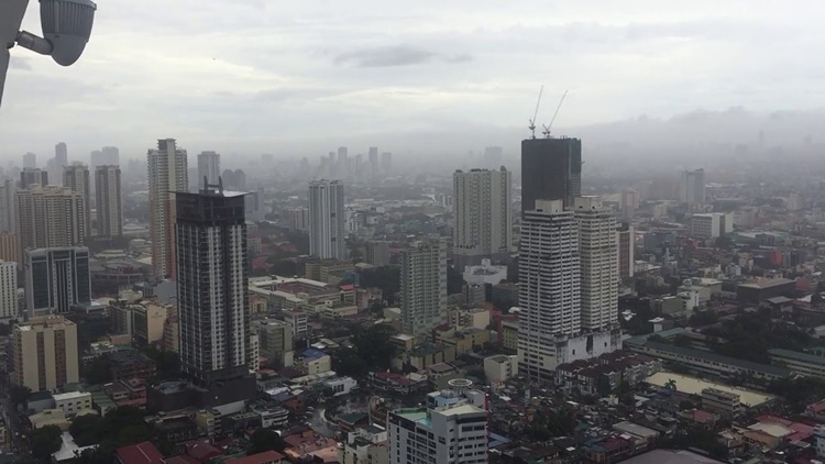
The localized thunderstorms are also expected to bring partly cloudy to cloudy weather conditions with isolated rainshowers over Metro Manila and the remaining parts of the country.
The weather agency also advised the residents in the affected areas to take safety measures for possible flash floods and landslides during severe thunderstorms.
Severe Tropical Storm Dolphin with maximum sustained winds of 100 kilometers per hour and gustiness of up to 125 kph was last located at 1,805 kilometers northeast of extreme northern Luzon.
Meanwhile, the coastal water conditions over the Palawan, the rest of Luzon, Visayas and Mindanao would be slight to moderate, according to the weather bureau.
What can you say about this recent weather update? Just feel free to leave your comments and reactions to this article.
Read Also: PAGASA – LPA Brings Rains Over Eastern Visayas, Won’t Become Storm