PAGASA Releases Latest Weather Updates for Saturday (September 12)
LATEST WEATHER UPDATE – The state weather bureau PAGASA said that a low-pressure area near Romblon is expected to bring rains over some parts of the country.
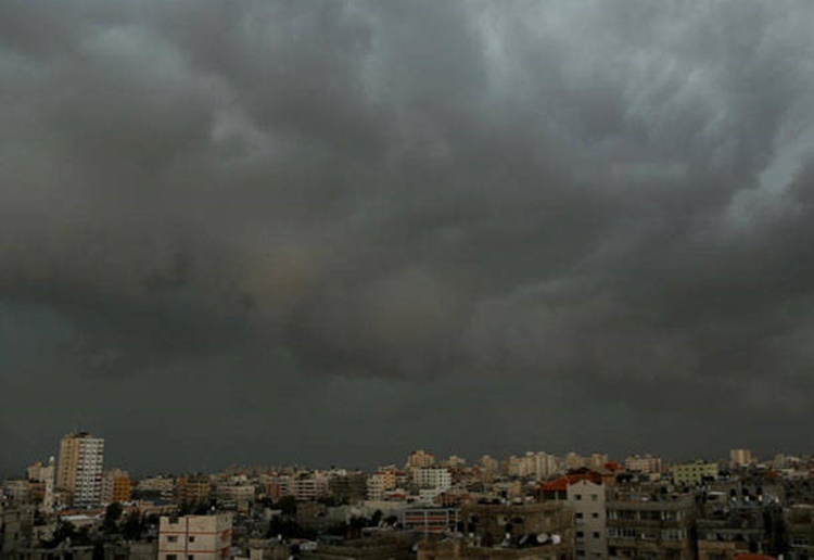
On Saturday (September 12, 2020), the Philippine Atmospheric, Geophysical and Astronomical Services Administration released the latest weather updates in the country. A low-pressure area would affect the country’s weather condition.
PAGASA reported that the low-pressure area was last spotted at 45 kilometers north of Romblon, Romblon. The LPA would bring cloudy weather conditions with scattered rainshowers and thunderstorms over CALABARZON, MIMAROPA, and Bicol Region.

The localized thunderstorms would bring partly cloudy to cloudy skies with isolated rainshowers over the provinces of Batanes, Cagayan, Isabela, Nueva Vizcaya, Quirino, Aurora, Benguet, Abra, Apayao, Kalinga, Ifugao, Mt. Province, Ilocos Norte, Ilocos Sur, La Union and Pangasinan.
The same weather condition is also expected over Metro Manila and the remaining parts of the country.
The weather agency also warned the residents in the affected areas to take precautionary measures for possible flashfloods and landslides.
A tropical depression spotted at 2,035 kilometers northeast of extreme northern Luzon has maximum sustained winds of 45 kilometers per hour and gustiness of 55 kph. The weather disturbance is moving 30 kph at a north-northwest direction.
The coastal water conditions over northern and central Luzon would be slight to moderate. Slight surrounding sea conditions over the rest of Luzon, Visayas, and Mindanao, according to the weather bureau.
What can you say about the recent weather update? Just feel free to leave your comments and reactions to this article.
Read Also: PAGASA – Latest Weather Updates This September 11, 2020